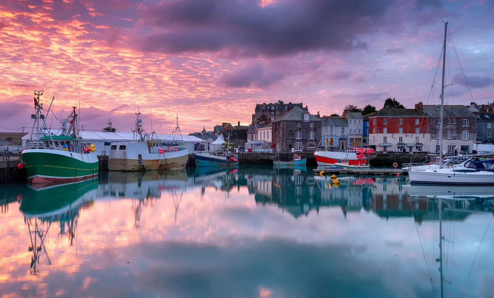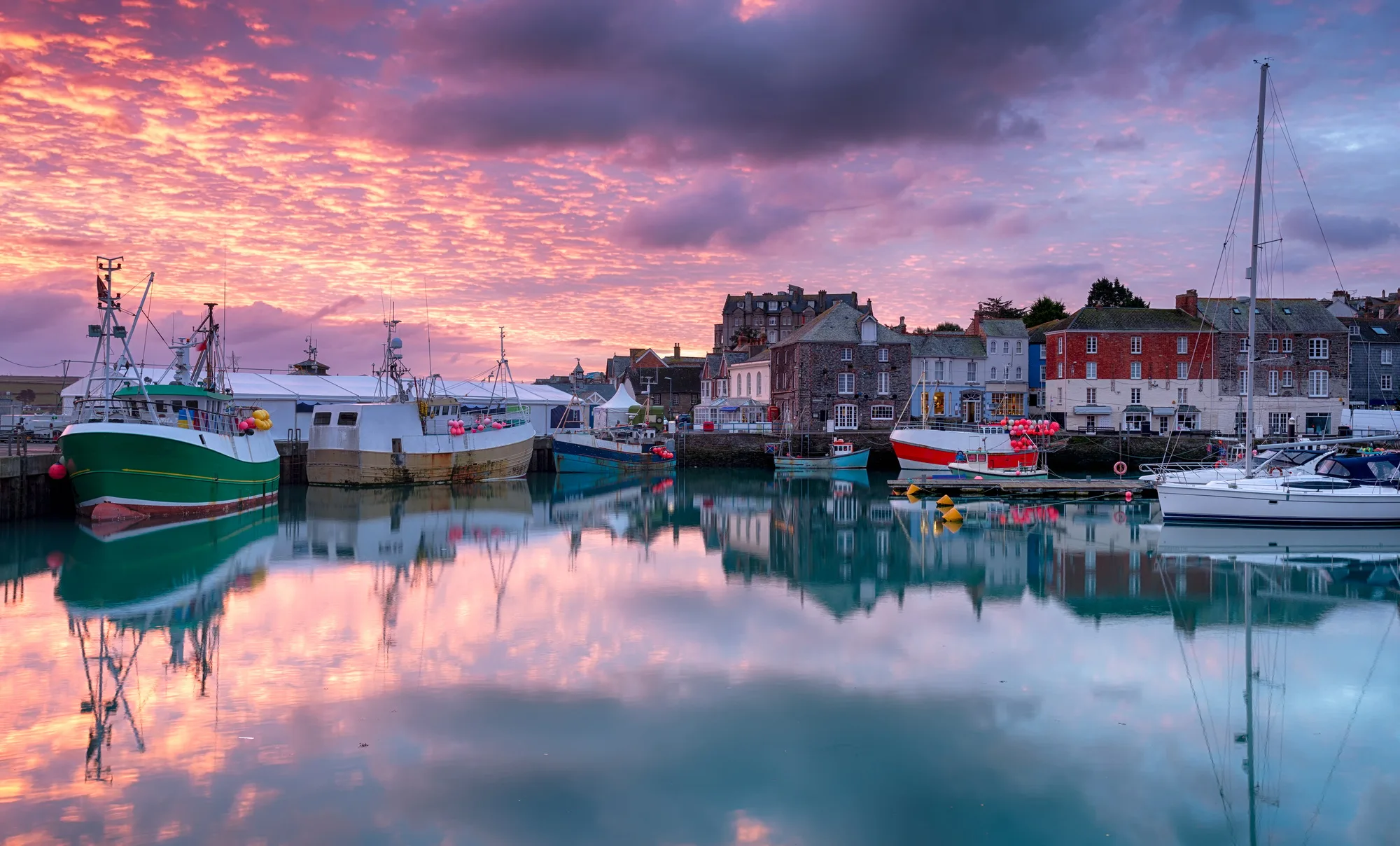
🍂 The best Cornwall hotels this autumn 🍂
Cornwall.co.uk
Arriving in Padstow

Travel distances

St Ives to Padstow

St Ives to Padstow on the map

Start and finishThe route by roadSee the stops along the way on their own map ↓

Open this route in Google Maps ↗ for live traffic and turn-by-turn directions.

Distance

45 miles

by road

By car

About 1 hour 5 minutes

in normal traffic

By bike

About 4 hours

steady pace

By foot

About 15 hours

estimated at a 3mph walking pace

Before you set off

The A30 is busiest on summer Saturdays, and Padstow itself is congested from late morning in July and August, when the car parks above the harbour fill and traffic queues back towards the town. May Day, when the 'Obby 'Oss is out, brings the biggest crowd of the year.

Which way to go

The fastest route

Take the A30 east from Hayle to the Indian Queens junction, then the A39 north to St Columb Major and the B3274 across the downs to Padstow, joining the A389 for the final mile into the town.1

The scenic route

From Indian Queens, follow the A3059 towards Newquay and turn north on the B3276 coast road through Mawgan Porth and past Bedruthan Steps, one of the finest clifftop drives in Cornwall,2 arriving in Padstow from the west. Add about twenty minutes.

Caravans and motorhomes

The A30, A39 and B3274 are all fine for caravans. The B3276 coast road is narrow and twisting past Mawgan Porth and Porthcothan, so keep to the B3274 when towing.
Stops along the way

Stops along the way — tap or hover a pin for a photo, the detour and a link to its guideStart and finishThe route by road

  1. Start

    St Ives

  2. Hayle

    0.4 miles off the A30, adds roughly 5 minutes

    Where the route leaves the Penwith peninsula. The town's foundries once supplied mines across the world, and the Towans beach runs for three miles.3

  3. Wadebridge

    4.7 miles off the main route, adds roughly 15 minutes

    A short detour east to the town on the Camel, and the start of the Camel Trail, the off-road cycle path to Padstow.4

  4. Harlyn Bay Beach

    2.1 miles off the A389, adds roughly 11 minutes

    A sheltered, family-friendly bay a couple of miles west of Padstow, and a better swim than the estuary beaches.

  5. Arrive

    Padstow

Practical information

Parking

Padstow has very limited parking in the town centre. The main car park above the harbour fills quickly in summer. The Rock Road car park on the edge of town is a better option for longer stays. St Ives departures should factor in at least 15 minutes at each end for parking.

Train and bus

There is no direct service. Take the St Ives Bay Line to St Erth and the main line to Bodmin Parkway,5 then the bus through Wadebridge to Padstow,6 about two and a half hours.

The best time to travel

Spring and early autumn. In summer, arrive before 10am for a car park space above the harbour.

About the St Ives to Padstow journey

The 42-mile journey from St Ives to Padstow crosses Cornwall from the far south-west to the mid-north coast, two towns that share a fishing heritage but little else in character. St Ives looks out over St Ives Bay and the Atlantic; Padstow faces the broad sweep of the Camel Estuary, sheltered and south-facing, its harbour packed with lobster pots and pleasure craft.

What to do in Padstow

The harbour is the heart of the town,7 with the fishing fleet, the ferry to Rock and the restaurants that made Padstow famous. Prideaux Place, the Elizabethan house above the town, opens in summer,8 and the Camel Trail is worth following even for a short stretch on a hired bike.4

Read the Padstow guide

Going the other way: Padstow to St Ives

Returning from Padstow to St Ives, the A39 and A30 are the quickest option. If you arrived via the coastal B3306, consider returning via the direct A30 to save time, or stop in Newquay or Hayle on the way back to break the journey.

Article Sources
  1. OpenStreetMap contributors (2026). Road network, road classifications and place names. Copyright and licence [online]. Available at: https://www.openstreetmap.org/copyright OpenStreetMap[↩]
  2. National Trust (no date). Home page [online]. Available at: https://www.nationaltrust.org.uk National Trust[↩]
  3. Cornwall and West Devon Mining Landscape World Heritage Site (no date). Home page [online]. Available at: https://www.cornishmining.org.uk Cornish Mining World Heritage[↩]
  4. Sustrans (no date). Camel Trail (Padstow to Bodmin) [online]. Available at: https://www.sustrans.org.uk/find-a-route-on-the-national-cycle-network/camel-trail Sustrans[↩]
  5. Great Western Railway (no date). Plan your journey: timetables and branch-line services in Cornwall [online]. Available at: https://www.gwr.com/plan-journey Great Western Railway[↩]
  6. First Kernow (no date). Bus services, routes and timetables in Cornwall [online]. Available at: https://www.firstbus.co.uk/cornwall First Kernow[↩]
  7. Padstow Harbour Commissioners (no date). Padstow harbour and the Rock foot ferry [online]. Available at: https://padstow-harbour.co.uk Padstow Harbour Commissioners[↩]
  8. Prideaux Place (no date). Home page [online]. Available at: https://www.prideauxplace.co.uk Prideaux Place[↩]
  9. Project OSRM (no date). Open Source Routing Machine: route shape and detour calculations [online]. Available at: https://project-osrm.org Project OSRM
  10. Ordnance Survey (no date). National Grid references used to position each place on the route map [online]. Available at: https://www.ordnancesurvey.co.uk Ordnance Survey
  11. Google (no date). Google Maps: live traffic and turn-by-turn directions [online]. Available at: https://www.google.com/maps Google Maps