🍂 The best Cornwall hotels this autumn 🍂
Cornwall.co.uk
Arriving in Newquay

Travel distances

St Ives to Newquay

St Ives to Newquay on the map

Start and finishThe route by roadSee the stops along the way on their own map ↓

Open this route in Google Maps ↗ for live traffic and turn-by-turn directions.

Distance

30 miles

by road

By car

About 45 minutes

in normal traffic

By bike

About 3 hours

steady pace

By foot

About 10 hours

estimated at a 3mph walking pace

Before you set off

The A30 east of Hayle and the A3075 into Newquay both slow badly on summer Saturdays, and the week of the Boardmasters festival in August brings the heaviest traffic of the year to Newquay. Outside the school holidays the run is straightforward at almost any hour.

Which way to go

The fastest route

Take the A3074 out of St Ives to join the A30 at Hayle, stay on it east past Camborne and Redruth to the Chiverton Cross junction, then follow the A3075 north through Goonhavern into Newquay.1

The scenic route

Leave the A30 at Hayle and follow the B3301 along the coast through Gwithian and Portreath, with St Ives Bay and Godrevy lighthouse behind you, then pick up the B3285 through St Agnes to Perranporth and the A3075 into Newquay. Add about thirty minutes.1

Caravans and motorhomes

The A30 and A3075 are both fine for caravans. The B3301 coast road and the lanes through St Agnes are narrow, with steep hills down to Portreath and Trevaunance Cove, so keep to the main roads when towing.
Stops along the way

Stops along the way — tap or hover a pin for a photo, the detour and a link to its guideStart and finishThe route by road

  1. Start

    St Ives

  2. Hayle

    0.4 miles off the A30, adds roughly 5 minutes

    The Hayle estuary marks the eastern edge of the Penwith peninsula. The town's three-mile beach and the RSPB reserve on the estuary are both worth a stop.

  3. Perranporth

    1.4 miles off the A3075, adds roughly 5 minutes

    A vast west-facing beach backed by dunes, with gentler surf than Newquay that suits learners and families.

  4. Crantock Beach

    1.8 miles off the main route, adds roughly 11 minutes

    A wide, dune-backed beach on the Gannel estuary just short of Newquay, quieter than the town beaches and lovely at low tide.

  5. Arrive

    Newquay

Practical information

Parking

Newquay has several large car parks close to the town centre and beaches. The Tregunnel Hill and Marcus Hill car parks are the most convenient for the town; Fistral Beach has its own dedicated car park that fills quickly in summer. Arrive before 9am on peak summer weekends.

Train and bus

By train, take the St Ives Bay Line to St Erth, the main line to Par and the Atlantic Coast Line to Newquay,2 around one hour forty minutes.3 First Kernow buses also run the route with a change, in about the same time.4

The best time to travel

May and September for warm water and quiet roads. Avoid summer Saturdays and the Boardmasters week.

About the St Ives to Newquay journey

The 30-mile journey from St Ives to Newquay is a cross-Cornwall trip between two of the county's most recognisable coastal towns, both facing the Atlantic but with very different characters. St Ives is intimate and art-world famous; Newquay is bigger, louder and emphatically surf-focused, with a string of west-facing beaches that catch swell from the full fetch of the North Atlantic.

What to do in Newquay

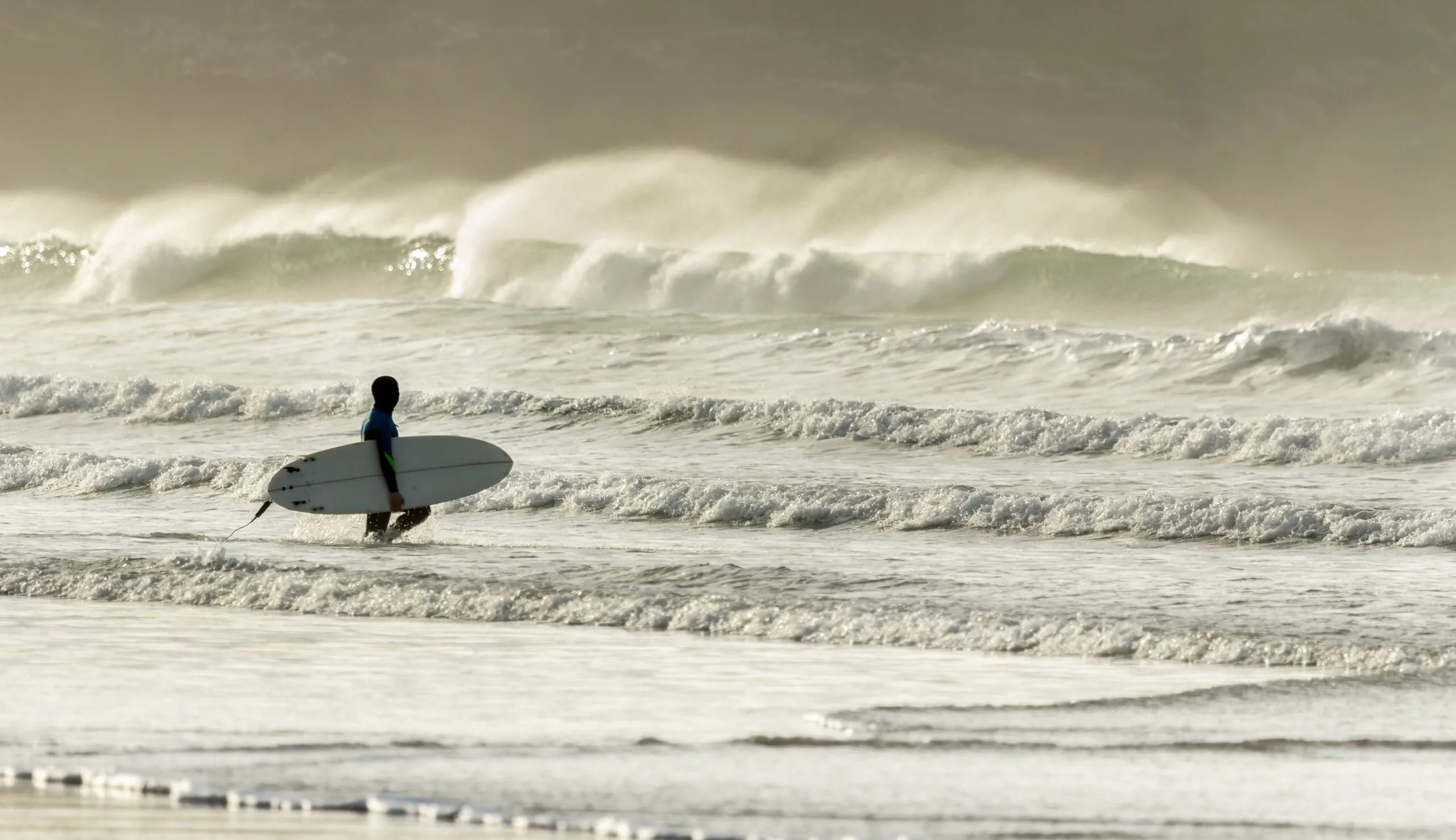
Newquay's beaches are the main event: Fistral faces due west and takes the biggest swells, while Tolcarne and Great Western are gentler and better for families. Watergate Bay is three miles north. Newquay Zoo5 and the Blue Reef Aquarium6 are good wet-weather options.

Read the Newquay guide

Going the other way: Newquay to St Ives

The return from Newquay to St Ives follows the same A392 and A30 corridor. If you took the coastal A3075 route on the way out, the A30 makes a faster return. Coming back into St Ives, the view of the town from above Carbis Bay rewards the final climb.

Article Sources
  1. OpenStreetMap contributors (2026). Road network, road classifications and place names. Copyright and licence [online]. Available at: https://www.openstreetmap.org/copyright OpenStreetMap[↩]
  2. Great Western Railway (no date). Plan your journey: timetables and branch-line services in Cornwall [online]. Available at: https://www.gwr.com/plan-journey Great Western Railway[↩]
  3. National Rail Enquiries (no date). Train times and journey planner [online]. Available at: https://www.nationalrail.co.uk National Rail[↩]
  4. First Kernow (no date). Bus services, routes and timetables in Cornwall [online]. Available at: https://www.firstbus.co.uk/cornwall First Kernow[↩]
  5. Newquay Zoo (no date). Home page [online]. Available at: https://www.newquayzoo.org.uk Newquay Zoo[↩]
  6. Blue Reef Aquarium (no date). Blue Reef Aquarium Newquay [online]. Available at: https://www.bluereefaquarium.co.uk/newquay Blue Reef Aquarium[↩]
  7. Project OSRM (no date). Open Source Routing Machine: route shape and detour calculations [online]. Available at: https://project-osrm.org Project OSRM
  8. Ordnance Survey (no date). National Grid references used to position each place on the route map [online]. Available at: https://www.ordnancesurvey.co.uk Ordnance Survey
  9. Google (no date). Google Maps: live traffic and turn-by-turn directions [online]. Available at: https://www.google.com/maps Google Maps