🍂 The best Cornwall hotels this autumn 🍂
Cornwall.co.uk
Arriving in Truro

Travel distances

St Ives to Truro

St Ives to Truro on the map

Start and finishThe route by roadSee the stops along the way on their own map ↓

Open this route in Google Maps ↗ for live traffic and turn-by-turn directions.

Distance

26 miles

by road

By car

About 40 minutes

in normal traffic

By bike

About 2 hours 30 minutes

steady pace

By foot

About 8 hours 40 minutes

estimated at a 3mph walking pace

Before you set off

The A30 between Hayle and Chiverton Cross carries most of West Cornwall's holiday traffic, and on summer Saturdays the queues around the Hayle and Camborne junctions can add half an hour. In Truro itself, the approach to the Arch Hill and Boscawen roundabouts is slowest in the weekday rush.

Which way to go

The fastest route

Leave St Ives on the A3074 through Carbis Bay and Lelant to join the A30 at Hayle, stay on it past Camborne and Redruth to Chiverton Cross, then take the A390 into Truro.1

The scenic route

Leave the A30 at Hayle and follow the B3301 coast road through Gwithian and Portreath, with the whole of St Ives Bay behind you, then cut inland at Porthtowan to rejoin the A30 for the run into Truro. Add about twenty-five minutes.1

Caravans and motorhomes

The A30 is the caravan route, dual carriageway from Hayle onwards. Avoid the B3301 coast road when towing, as it has steep, narrow descents into Portreath and Porthtowan.
Stops along the way

Stops along the way — tap or hover a pin for a photo, the detour and a link to its guideStart and finishThe route by road

  1. Start

    St Ives

  2. Hayle

    0.4 miles off the A30, adds roughly 5 minutes

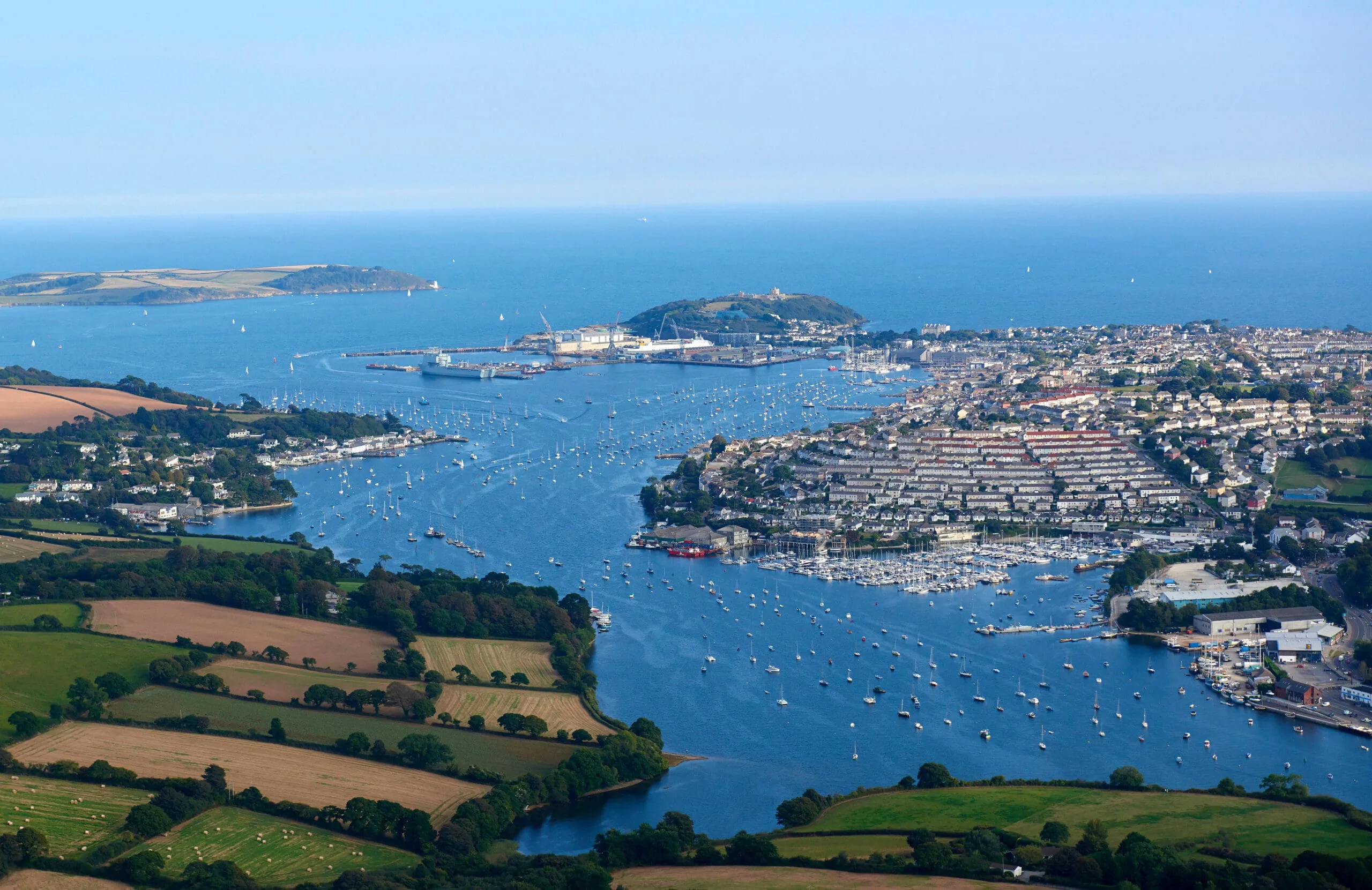
    The estuary town at the mouth of the Hayle River and the first landmark on the A30. The three-mile beach at Hayle Towans is one of the longest in Cornwall.

  3. Camborne

    0.7 miles off the A30, adds roughly 7 minutes

    The engineering half of the old mining district, and Richard Trevithick's birthplace.2

  4. Redruth

    0.8 miles off the A30, adds roughly 9 minutes

    Mining heritage and the climb up Carn Brea for a view across both coasts.2

  5. Chiverton Cross

    The A30 and A390 junction, where the route turns off for Truro. The final stretch into the city takes under fifteen minutes.

  6. Arrive

    Truro

Practical information

Parking

St Ives has limited parking, so it is worth leaving from one of the park-and-ride sites on the edge of town. At the Truro end, the main pay-and-display car parks cluster around Lemon Quay and the railway station. Arriving before 10am or after 4pm avoids the busiest periods.

Train and bus

The St Ives Bay Line runs to St Erth, where you change for the main line to Truro,3 about fifty minutes in all.4 First Kernow buses also run between the two, around an hour and a quarter.5

The best time to travel

Outside summer Saturdays. Before 9am or after 6pm in peak season to avoid the queues around Hayle.

About the St Ives to Truro journey

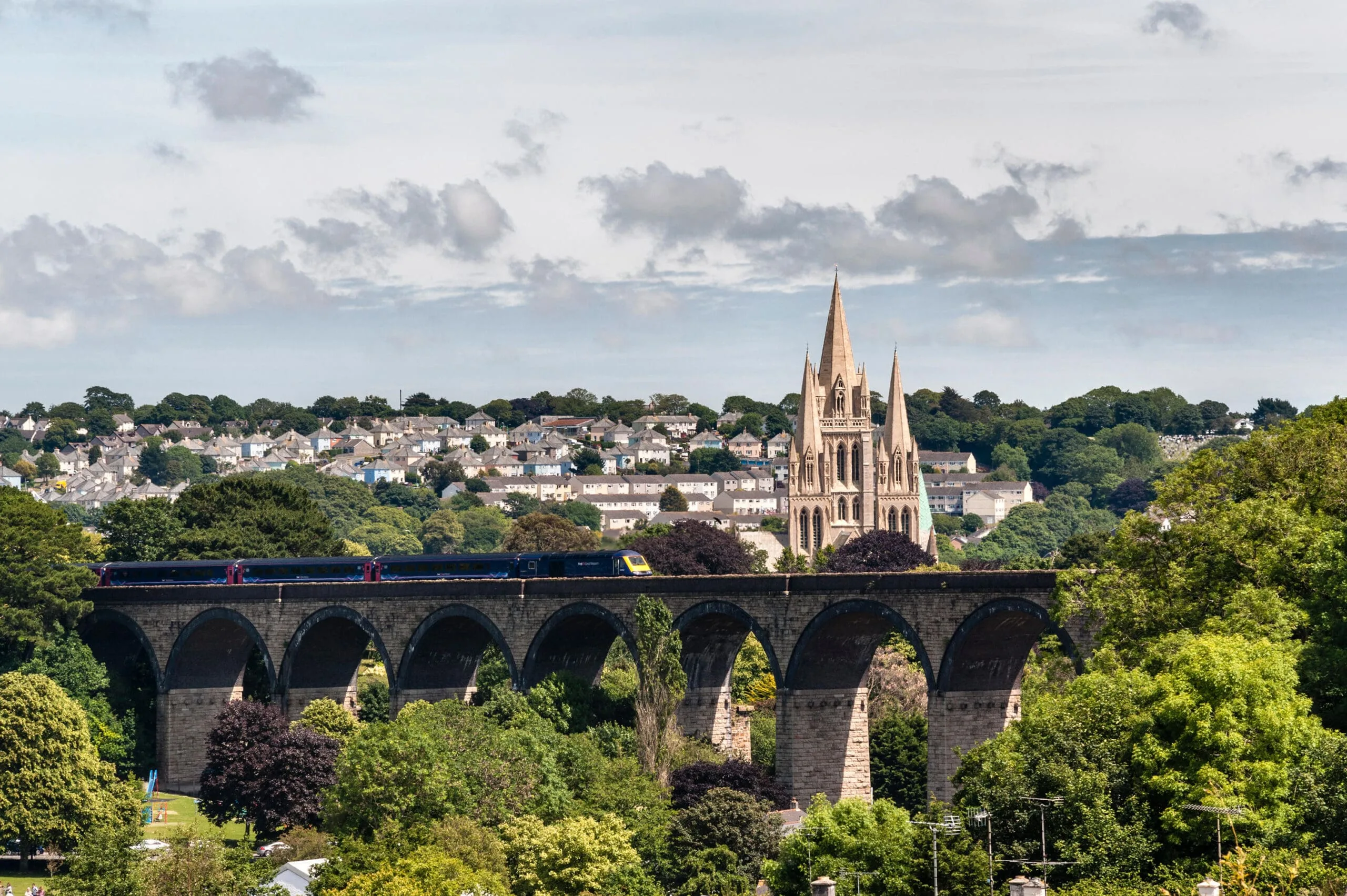
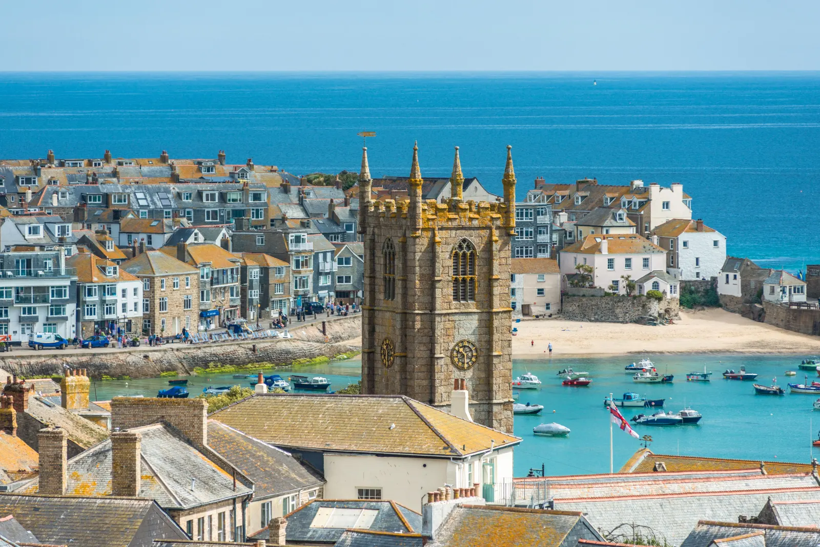
The 25-mile journey from St Ives to Truro is one of the most-travelled routes in West Cornwall, connecting the county's most-visited seaside town with its cathedral city and administrative centre. St Ives sits on a peninsula almost surrounded by sea, so every route east involves a short climb out of the town before the landscape opens into the broad agricultural plateau of the Penwith moors. By the time you reach Hayle, the Atlantic is behind you and the softer, wooded valleys of mid-Cornwall begin. Truro grew as a stannary town where tin was weighed and taxed, and its Victorian Gothic cathedral, completed in 1910, dominates the skyline long before you arrive.

What to do in Truro

Truro is worth half a day at least. The Royal Cornwall Museum holds the county's finest collections of art, minerals and social history,6 and the cathedral, completed in 1910, is open to visitors most days.7 Lemon Street is one of the best Georgian streets in the South West, and the Hall for Cornwall hosts theatre and music through the year.

Read the Truro guide

Going the other way: Truro to St Ives

The return journey from Truro to St Ives reverses the same A30 corridor and takes around the same time. If you used the scenic B3311 route on the way out, the A30 makes a faster return. Coming into St Ives from the east, the first glimpse of the town and its harbour from the hill above Carbis Bay is one of the great views in Cornwall.

Article Sources
  1. OpenStreetMap contributors (2026). Road network, road classifications and place names. Copyright and licence [online]. Available at: https://www.openstreetmap.org/copyright OpenStreetMap[↩]
  2. Cornwall and West Devon Mining Landscape World Heritage Site (no date). Home page [online]. Available at: https://www.cornishmining.org.uk Cornish Mining World Heritage[↩]
  3. Great Western Railway (no date). Plan your journey: timetables and branch-line services in Cornwall [online]. Available at: https://www.gwr.com/plan-journey Great Western Railway[↩]
  4. National Rail Enquiries (no date). Train times and journey planner [online]. Available at: https://www.nationalrail.co.uk National Rail[↩]
  5. First Kernow (no date). Bus services, routes and timetables in Cornwall [online]. Available at: https://www.firstbus.co.uk/cornwall First Kernow[↩]
  6. Royal Cornwall Museum (no date). Home page [online]. Available at: https://royalcornwallmuseum.org.uk Royal Cornwall Museum[↩]
  7. Truro Cathedral (no date). Home page [online]. Available at: https://www.trurocathedral.org.uk Truro Cathedral[↩]
  8. Project OSRM (no date). Open Source Routing Machine: route shape and detour calculations [online]. Available at: https://project-osrm.org Project OSRM
  9. Ordnance Survey (no date). National Grid references used to position each place on the route map [online]. Available at: https://www.ordnancesurvey.co.uk Ordnance Survey
  10. Google (no date). Google Maps: live traffic and turn-by-turn directions [online]. Available at: https://www.google.com/maps Google Maps