๐Ÿ‚ The best Cornwall hotels this autumn ๐Ÿ‚
Cornwall.co.uk
Arriving in Padstow

Travel distances

Truro to Padstow

Truro to Padstow on the map

Start and finishThe route by roadSee the stops along the way on their own map โ†“

Open this route in Google Maps โ†— for live traffic and turn-by-turn directions.

Distance

24 miles

by road

By car

About 45 minutes

in normal traffic

By bike

About 2 hours 15 minutes

steady pace

By foot

About 8 hours

estimated at a 3mph walking pace

Before you set off

Padstow is small, popular and has one road in. From Easter to October the approach past the park-and-ride can queue, and on May Day โ€” when the Obby Oss procession fills the town1 โ€” driving in is simply not an option. Come by bus or park well out and walk.

Which way to go

The fastest route

A39 north out of Truro to Chiverton Cross, east along the A30 to Carland Cross, then back onto the A39 through St Columb Major and down to Wadebridge. The A389 covers the last five miles into Padstow.2

The scenic route

Leave the A39 at Wadebridge and take the B3314 round through St Issey and Little Petherick,2 dropping into Padstow along the creek. It is only a few minutes longer and a far better arrival than the main road gives you.

Caravans and motorhomes

The A39 and A389 are fine for a caravan or motorhome, but Padstow itself is not. The harbour-side streets are narrow and the car parks are tight. Use the park-and-ride on the edge of town, which is signed on the A389 and designed for exactly this.

Stops along the way

Stops along the way โ€” tap or hover a pin for a photo, the detour and a link to its guideStart and finishThe route by road

  1. Start

    Truro

  2. Wadebridge

    4.7 miles off the main route, adds roughly 15 minutes

    The start of the Camel Trail,3 and the last place to pick up supplies cheaply.

  3. Harlyn Bay Beach

    2.1 miles off the A389, adds roughly 11 minutes

    A wide, shallow north-facing bay three miles beyond Padstow โ€” the family choice.

  4. Polzeath Beach

    2.6 miles off the main route, adds roughly 39 minutes

    Across the Camel estuary, reachable by the Rock foot ferry from Padstow quay.4

  5. Arrive

    Padstow

Practical information

Parking

Padstow's quayside car parks are expensive and full by 10am in season. The park-and-ride above the town is cheaper and the walk down is five minutes. If you are staying nearby, cycling in on the Camel Trail solves the problem entirely.3

Train and bus

There has been no railway to Padstow since 19673 โ€” the old track bed is now the Camel Trail. By public transport it is a bus from Truro changing at Wadebridge, around an hour and three quarters;5 or the main line to Bodmin Parkway and a bus from there.6

The best time to travel

Weekday mornings outside school holidays. Avoid May Day entirely unless you are coming for it, in which case come by bus.

About the Truro to Padstow journey

Twenty-four miles and you have crossed Cornwall, south coast to north. Padstow earns its reputation and its crowds in roughly equal measure: a working harbour that still lands fish, wrapped in a town that now mostly sells lunch. The best approach is not by car at all. The Camel Trail runs five and a half flat, traffic-free miles from Wadebridge along the estuary,7 and arriving on two wheels with the tide out and the sandbanks showing is a genuinely different experience from arriving in a queue.

What to do in Padstow

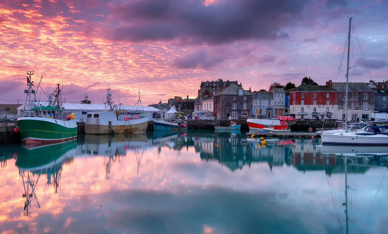
The harbour is the point โ€” walk it, watch the boats, take the foot ferry across to Rock.4 Prideaux Place sits above the town, an Elizabethan house with a deer park.8 The coast path west reaches Stepper Point and the Doom Bar, and Harlyn and Constantine are a short drive beyond. Book anywhere you intend to eat.

Read the Padstow guide

Going the other way: Padstow to Truro

Padstow to Truro is the same 24 miles. Coming back on a summer Sunday afternoon you will meet the Wadebridge queue, which can add twenty minutes before you reach the A39. The Camel Trail and a bus back from Wadebridge is a good one-way plan if you have brought bikes.

Article Sources
  1. Visit Cornwall (no date). Cornwall events calendar [online]. Available at: https://www.visitcornwall.com Visit Cornwall[โ†ฉ]
  2. OpenStreetMap contributors (2026). Road network, road classifications and place names. Copyright and licence [online]. Available at: https://www.openstreetmap.org/copyright OpenStreetMap[โ†ฉ]
  3. Sustrans (no date). Camel Trail (Padstow to Bodmin) [online]. Available at: https://www.sustrans.org.uk/find-a-route-on-the-national-cycle-network/camel-trail Sustrans[โ†ฉ]
  4. Padstow Harbour Commissioners (no date). Padstow harbour and the Rock foot ferry [online]. Available at: https://padstow-harbour.co.uk Padstow Harbour Commissioners[โ†ฉ]
  5. First Kernow (no date). Bus services, routes and timetables in Cornwall [online]. Available at: https://www.firstbus.co.uk/cornwall First Kernow[โ†ฉ]
  6. Great Western Railway (no date). Plan your journey: timetables and branch-line services in Cornwall [online]. Available at: https://www.gwr.com/plan-journey Great Western Railway[โ†ฉ]
  7. Sustrans (no date). The National Cycle Network [online]. Available at: https://www.sustrans.org.uk/national-cycle-network Sustrans[โ†ฉ]
  8. Prideaux Place (no date). Home page [online]. Available at: https://www.prideauxplace.co.uk Prideaux Place[โ†ฉ]
  9. Project OSRM (no date). Open Source Routing Machine: route shape and detour calculations [online]. Available at: https://project-osrm.org Project OSRM
  10. Ordnance Survey (no date). National Grid references used to position each place on the route map [online]. Available at: https://www.ordnancesurvey.co.uk Ordnance Survey
  11. Google (no date). Google Maps: live traffic and turn-by-turn directions [online]. Available at: https://www.google.com/maps Google Maps