🍂 The best Cornwall hotels this autumn 🍂
Cornwall.co.uk
Arriving in Falmouth

Travel distances

St Ives to Falmouth

St Ives to Falmouth on the map

Start and finishThe route by roadSee the stops along the way on their own map ↓

Open this route in Google Maps ↗ for live traffic and turn-by-turn directions.

Distance

26 miles

by road

By car

About 45 minutes

in normal traffic

By bike

About 3 hours 30 minutes

steady pace

By foot

About 8 hours 40 minutes

estimated at a 3mph walking pace

Before you set off

The A30 out of Hayle is the busiest stretch of the journey, and on Saturdays in July and August the queues build in both directions as holiday lets change over. The lanes from Redruth down through Lanner and Ponsanooth are quick but narrow in places, so allow extra time behind farm traffic and buses.

Which way to go

The fastest route

Leave St Ives on the A3074 through Carbis Bay and Lelant, join the A30 east at Hayle and stay on it past Camborne to the Redruth junction. From there the A393 runs south through Lanner and Ponsanooth to Penryn, where the A39 takes you the last two miles into Falmouth.1

The scenic route

For a slower, southern run, take the A30 west to Crowlas and the A394 east through Marazion, Helston and Constantine Cross, with St Michael's Mount in view across Mount's Bay for the first few miles.2 It rejoins the A39 at Penryn and adds around twenty-five minutes.

Caravans and motorhomes

The A30 and the A394 both take caravans comfortably. The A393 through Lanner and Ponsanooth is narrower, with a tight bend at Ponsanooth bridge, so if you are towing a large van stay on the A30 to Chiverton Cross and come down the A39 through Truro instead.1
Stops along the way

Stops along the way — tap or hover a pin for a photo, the detour and a link to its guideStart and finishThe route by road

  1. Start

    St Ives

  2. Hayle

    0.2 miles off the main route, adds roughly 3 minutes

    The estuary town at the start of the A30, with three miles of dune-backed sand at the Towans and a Victorian foundry heritage that once supplied mines across the world.3

  3. Redruth

    3.2 miles off the main route, adds roughly 4 minutes

    The old mining capital, where the route leaves the A30. The climb up Carn Brea gives a view across both coasts.3

  4. Penryn

    0.4 miles off the A39, adds roughly 6 minutes

    The granite-built stannary town immediately before Falmouth, with a steep high street running down to the Penryn River and a good independent food scene.

  5. Arrive

    Falmouth

Practical information

Parking

St Ives park-and-ride on the edge of town is the best departure point. In Falmouth, The Moor multi-storey and Events Square car parks are the most central. Arrive before 10am in summer to secure a space near the harbour.

Train and bus

There is no direct bus. The St Ives Bay Line runs to St Erth, where you change for the main line to Truro and then the Maritime Line to Falmouth,4 about two hours with connections.5

The best time to travel

Avoid summer Saturdays. Midweek, or before 9am at weekends, the whole run takes under an hour.

About the St Ives to Falmouth journey

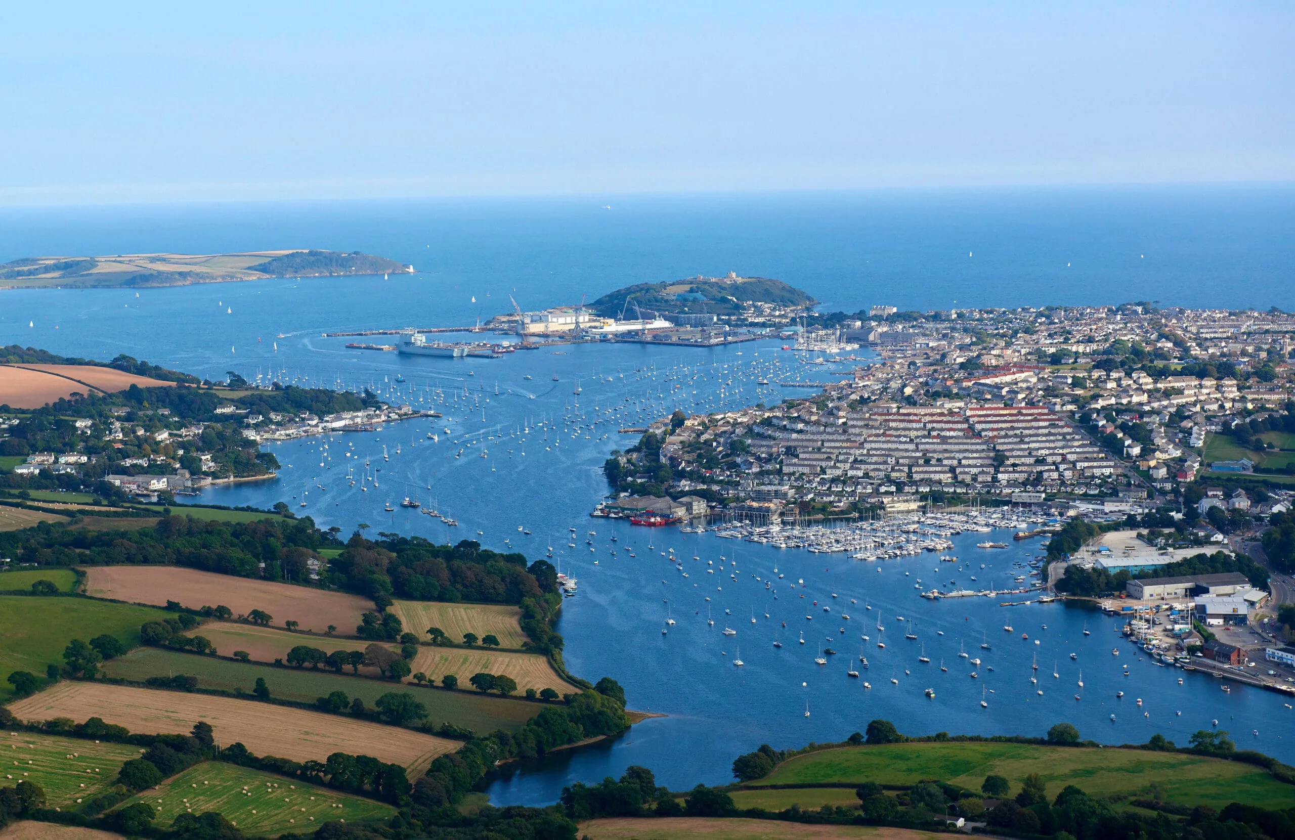
The drive from St Ives to Falmouth crosses Cornwall from the Atlantic to the Channel, about twenty-six miles from one of the county's best-known harbours to one of the world's deepest natural ones. The two towns could hardly feel more different: St Ives is a compact fishing town turned artists' colony; Falmouth is a working port, its waterfront lined with chandleries, galleries and the great bulk of Pendennis Castle on the headland above.6

What to do in Falmouth

The National Maritime Museum Cornwall on Discovery Quay is the obvious first stop,7 and Pendennis Castle, built by Henry VIII to guard the Carrick Roads, has the best view over the estuary.6 The independent restaurants and cafes around Events Square and the High Street punch well above the town's size, and Gyllyngvase is the beach for an afternoon swim.

Read the Falmouth guide

Going the other way: Falmouth to St Ives

Returning from Falmouth to St Ives, the same A394 route via Helston and Penzance is the fastest option. If the tide is right, a detour to Marazion for St Michael's Mount makes a natural halfway stop on the return leg.

Article Sources
  1. OpenStreetMap contributors (2026). Road network, road classifications and place names. Copyright and licence [online]. Available at: https://www.openstreetmap.org/copyright OpenStreetMap[↩]
  2. St Michael’s Mount (no date). Home page [online]. Available at: https://www.stmichaelsmount.co.uk St Michael’s Mount[↩]
  3. Cornwall and West Devon Mining Landscape World Heritage Site (no date). Home page [online]. Available at: https://www.cornishmining.org.uk Cornish Mining World Heritage[↩]
  4. Great Western Railway (no date). Plan your journey: timetables and branch-line services in Cornwall [online]. Available at: https://www.gwr.com/plan-journey Great Western Railway[↩]
  5. National Rail Enquiries (no date). Train times and journey planner [online]. Available at: https://www.nationalrail.co.uk National Rail[↩]
  6. English Heritage (no date). Pendennis Castle [online]. Available at: https://www.english-heritage.org.uk/visit/places/pendennis-castle English Heritage[↩]
  7. National Maritime Museum Cornwall (no date). Home page [online]. Available at: https://nmmc.co.uk National Maritime Museum Cornwall[↩]
  8. Project OSRM (no date). Open Source Routing Machine: route shape and detour calculations [online]. Available at: https://project-osrm.org Project OSRM
  9. Ordnance Survey (no date). National Grid references used to position each place on the route map [online]. Available at: https://www.ordnancesurvey.co.uk Ordnance Survey
  10. Google (no date). Google Maps: live traffic and turn-by-turn directions [online]. Available at: https://www.google.com/maps Google Maps