🍂 The best Cornwall hotels this autumn 🍂
Cornwall.co.uk
Arriving in Falmouth

Travel distances

Truro to Falmouth

Truro to Falmouth on the map

Start and finishThe route by roadSee the stops along the way on their own map ↓

Open this route in Google Maps ↗ for live traffic and turn-by-turn directions.

Distance

11.5 miles

by road

By car

About 25 minutes

in normal traffic

By bike

About 1 hour 15 minutes

steady pace

By foot

About 3 hours 50 minutes

estimated at a 3mph walking pace

Before you set off

The road itself is quick all year — it is the last mile into Falmouth that costs you the time. From late May the town-centre car parks are full by mid-morning, and on Falmouth Week in August1 and the big regatta weekends the approach along the Penryn bypass can take longer than the eleven miles before it.

Which way to go

The fastest route

Leave Truro on the A39 at Arch Hill and simply stay on it: Playing Place, Perranarworthal, Penryn, then down the Penryn bypass into Falmouth. Dual carriageway in places, single elsewhere,2 and almost impossible to get wrong.

The scenic route

Drop off the A39 at Playing Place and take the lanes through Come-to-Good and Mylor Bridge, rejoining the main road at Penryn. You pass the oldest Quaker meeting house in Cornwall3 and a working boatyard creek. Add about ten minutes.

Caravans and motorhomes

Straightforward for a caravan or motorhome end to end — the A39 is the main road between the two towns and carries lorries every day.2 Do not take the Mylor lanes alternative: they are single track with high hedges and very few passing places.
Stops along the way

Stops along the way — tap or hover a pin for a photo, the detour and a link to its guideStart and finishThe route by road

  1. Start

    Truro

  2. Penryn

    0.2 miles off the B3292, adds roughly 6 minutes

    The older of the two towns, with a granite high street running downhill to the quay.

  3. Gyllyngvase Beach

    0.5 miles off the A39, adds roughly 3 minutes

    Falmouth's Blue Flag town beach,4 a ten-minute walk from the high street.

  4. Swanpool Beach

    0.9 miles off the main route, adds roughly 7 minutes

    A sheltered cove just beyond Gylly, with a café and a nature reserve behind the sand.

  5. Arrive

    Falmouth

Practical information

Parking

Falmouth's central car parks — The Moor, Church Street and Quarry — are small and fill early. In summer the Ponsharden Park & Float on the Penryn side is the reliable choice: leave the car there and come into town by ferry.5

Train and bus

The Maritime Line runs from Truro to Falmouth Docks roughly every half hour and takes about 25 minutes,6 calling at Perranwell, Penryn, Penmere and Falmouth Town.7 It is one of the prettiest short branch lines in the country and usually beats the car in August.

The best time to travel

Before 10am or after 4pm in July and August. Out of season any time of day is easy.

About the Truro to Falmouth journey

This is the journey most people in Cornwall make without thinking about it — the cathedral city to the harbour town, eleven and a half miles of it, past creeks that fill and empty twice a day. It is short enough that the decision is never really about the driving. It is about whether you want to arrive with a car you then have to put somewhere, in a town built for boats rather than for parking. The train exists for exactly this reason, and on a bright Saturday in August it is the better answer by a distance.

What to do in Falmouth

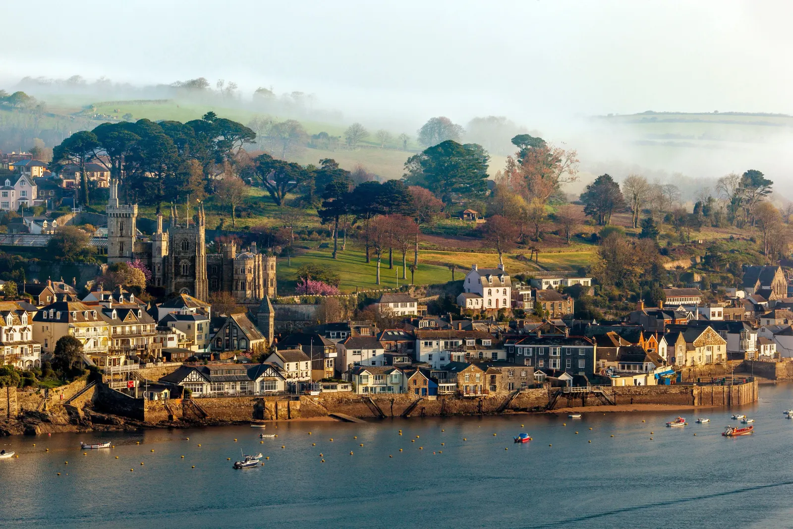
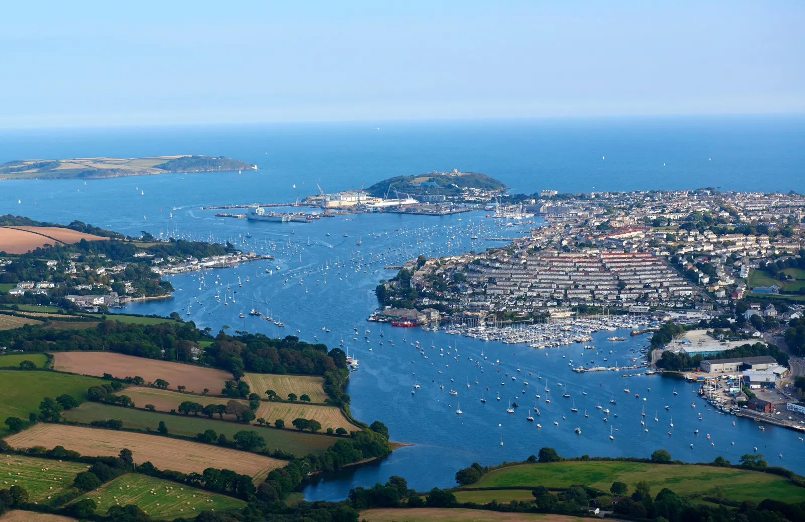
Falmouth has the third deepest natural harbour in the world8 and spends most of the year showing off about it. Start at the National Maritime Museum on Discovery Quay,9 walk the length of the high street — which changes its name four times — and come out at Gyllyngvase for the beach. Pendennis Castle sits above the headland10 with the best view of the Carrick Roads. In the evening, the quayside pubs are where the sailing crowd ends up.

Read the Falmouth guide

Going the other way: Falmouth to Truro

Falmouth to Truro is the same 11.5 miles on the same road, but the timing flips: the morning queue runs towards Truro, so leaving at 8.30am can add a quarter of an hour. If you are heading for the city centre rather than the retail parks, the train drops you closer than any car park does.6

Article Sources
  1. Falmouth Week (no date). Home page [online]. Available at: https://www.falmouthweek.co.uk Falmouth Week[↩]
  2. OpenStreetMap contributors (2026). Road network, road classifications and place names. Copyright and licence [online]. Available at: https://www.openstreetmap.org/copyright OpenStreetMap[↩]
  3. Historic England (no date). The National Heritage List for England [online]. Available at: https://historicengland.org.uk/listing/the-list Historic England[↩]
  4. Keep Britain Tidy (no date). Blue Flag and Seaside Awards [online]. Available at: https://www.keepbritaintidy.org/blue-flag-and-seaside-awards Keep Britain Tidy[↩]
  5. Fal River (no date). Ferries, Park & Float and getting around the Fal [online]. Available at: https://www.falriver.co.uk Fal River[↩]
  6. Great Western Railway (no date). Plan your journey: timetables and branch-line services in Cornwall [online]. Available at: https://www.gwr.com/plan-journey Great Western Railway[↩]
  7. National Rail Enquiries (no date). Train times and journey planner [online]. Available at: https://www.nationalrail.co.uk National Rail[↩]
  8. Falmouth Harbour (no date). Home page [online]. Available at: https://falmouthharbour.co.uk Falmouth Harbour[↩]
  9. National Maritime Museum Cornwall (no date). Home page [online]. Available at: https://nmmc.co.uk National Maritime Museum Cornwall[↩]
  10. English Heritage (no date). Pendennis Castle [online]. Available at: https://www.english-heritage.org.uk/visit/places/pendennis-castle English Heritage[↩]
  11. Project OSRM (no date). Open Source Routing Machine: route shape and detour calculations [online]. Available at: https://project-osrm.org Project OSRM
  12. Ordnance Survey (no date). National Grid references used to position each place on the route map [online]. Available at: https://www.ordnancesurvey.co.uk Ordnance Survey
  13. Google (no date). Google Maps: live traffic and turn-by-turn directions [online]. Available at: https://www.google.com/maps Google Maps