🍂 The best Cornwall hotels this autumn 🍂
Cornwall.co.uk
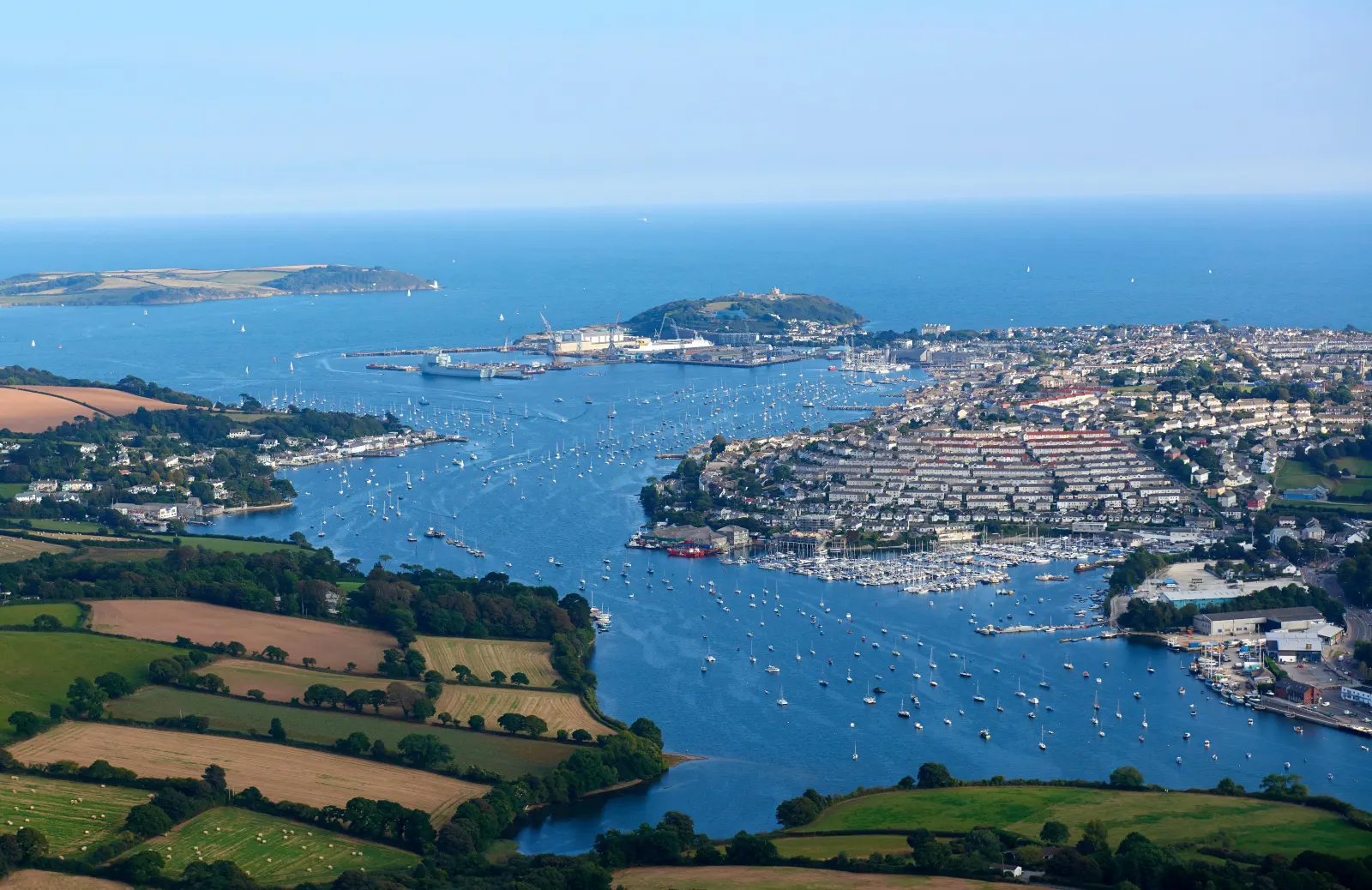
Arriving in Falmouth

Travel distances

Fowey to Falmouth

Fowey to Falmouth on the map

Start and finishThe route by roadSee the stops along the way on their own map ↓

Open this route in Google Maps ↗ for live traffic and turn-by-turn directions.

Distance

27 miles

by road

By car

About 50 minutes

in normal traffic

By bike

About 2 hours 45 minutes

steady pace

By foot

About 9 hours

estimated at a 3mph walking pace

Before you set off

The driving is quick for most of the year, but the last mile into Falmouth is the catch: the town-centre car parks fill by mid-morning from late May, and Falmouth Week in mid-August and the big regatta weekends clog the Penryn bypass.1 Fowey's own parking sits at the top of the town and fills early in summer too.

Which way to go

The fastest route

Leave Fowey on the A3082 to St Blazey, join the A390 west through St Austell to Truro, then take the A39 south through Playing Place and Penryn into Falmouth.2 About fifty minutes in normal traffic, almost all of it on fast main road, with the Fal creeks opening up on the final run into town.

The scenic route

For a quieter finish, leave the A39 south of Truro at Playing Place and follow the lanes through Point and Penpol above the Carnon and Restronguet creeks, past the seventeenth-century Come-to-Good Quaker meeting house, before rejoining the main road near Penryn.3 It adds about ten minutes and takes in some of the quietest water in the county, but the lanes are narrow, so keep to the A39 if you are towing.

Caravans and motorhomes

The A3082, A390 and A39 are the main roads through this part of Cornwall and take caravans and motorhomes comfortably.2 The creekside lanes around Feock and Point are single track with high hedges and few passing places, so leave those for a car and use the Ponsharden Park & Float on the Penryn side when towing.
Stops along the way

Stops along the way — tap or hover a pin for a photo, the detour and a link to its guideStart and finishThe route by road

  1. Start

    Fowey

  2. St Austell

    0.2 miles off the A390, adds roughly 1 minute

    The capital of the china-clay country on the first leg of the drive, gateway to the Eden Project and the preserved harbour at Charlestown.4

  3. Truro

    0.2 miles off the A39, adds roughly 2 minutes

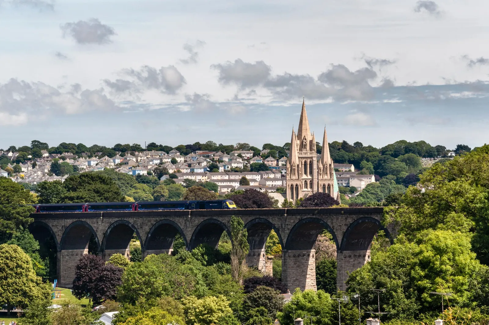
    The cathedral city and county capital at the head of the Truro River, a natural halfway stop for the Royal Cornwall Museum and the three-spired cathedral.5

  4. Penryn

    0.2 miles off the B3292, adds roughly 6 minutes

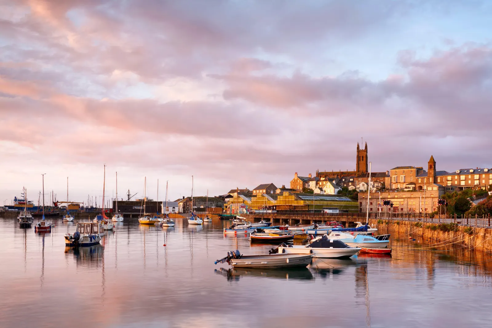
    Falmouth's older neighbour, a granite-built stannary town whose high street runs steeply down to the Penryn River and a working boatyard quay.

  5. Gyllyngvase Beach

    0.5 miles off the A39, adds roughly 3 minutes

    Falmouth's Blue Flag town beach,6 a sheltered crescent of sand a ten-minute walk from the centre.

  6. Arrive

    Falmouth

Practical information

Parking

Falmouth's central car parks at The Moor, Church Street and the Maritime Museum are small and fill early, so in summer the Ponsharden Park & Float on the Penryn side is the reliable choice, with a ferry into town.7 In Fowey, use the Caffa Mill or top-of-town car parks before you leave.

Train and bus

There is no direct train from Fowey. The practical route runs through Truro: a short bus from Fowey to Par, the main line west to Truro, then the Maritime Line down to Falmouth, which calls at Penryn and sets you down close to the seafront.8 The Maritime Line runs about every half hour and is one of the prettiest branch lines in the country.9 Allow around two hours with the connections.10

The best time to travel

Late spring and early autumn show Falmouth at its best, busy but not overwhelmed. In July and August arrive before the seafront car parks fill, or take the Park & Float, and avoid Falmouth Week in mid-August if you would rather miss the crowds, though the regatta is a spectacle if you time it to join in.1

About the Fowey to Falmouth journey

The twenty-seven miles from Fowey to Falmouth link two of the finest harbours on Cornwall's south coast, a narrow tidal creek on one side of the county and one of the deepest natural anchorages in the world on the other. The drive runs west across the clay country and down through Truro into the wooded creeks of the Fal, trading one kind of sheltered water for another.

Leaving Fowey, the road climbs out of the estuary through St Blazey and joins the A390 at St Austell, where the landscaped spoil tips of the clay industry rise pale against the sky, one now roofed with the biomes of the Eden Project.4 Beyond Truro the A39 drops south through Penryn, the older of the two neighbouring towns, before the water opens up at The Moor in the centre of Falmouth.

Both towns live off the sea but wear it differently. Fowey kept its working china-clay quay and its literary name through Daphne du Maurier; Falmouth grew around a packet port that sent mail and news across the Atlantic and is now a university harbour town with a maritime museum and one of the great sailing waters of Britain. The drive between them is the easiest way to trade the south-east coast for the far side of the Fal.

What to do in Falmouth

Falmouth is built for a day by the water. The National Maritime Museum Cornwall on Discovery Quay tells the story of the harbour and of small boats from around the world,11 and the seafront beaches of Gyllyngvase and Swanpool are a short walk or bus ride from the centre. Pendennis Castle, one of Henry VIII's coastal forts, guards the harbour mouth from its headland and gives a wide view across the Carrick Roads to St Mawes.12 The long main street of independent shops, galleries and cafes runs parallel to the water, and boat trips leave the Prince of Wales Pier for the Helford River and the upper Fal through the season.13

Read the Falmouth guide

Going the other way: Falmouth to Fowey

Falmouth to Fowey reverses the A39, A390 and A3082 and takes much the same fifty minutes. Truro makes a natural halfway stop in either direction, and the descent into Fowey at the end is steep and narrow, so follow the signs to the top-of-town car parks.

Article Sources
  1. Falmouth Week (no date). Home page [online]. Available at: https://www.falmouthweek.co.uk Falmouth Week[↩]
  2. OpenStreetMap contributors (2026). Road network, road classifications and place names. Copyright and licence [online]. Available at: https://www.openstreetmap.org/copyright OpenStreetMap[↩]
  3. Historic England (no date). The National Heritage List for England [online]. Available at: https://historicengland.org.uk/listing/the-list Historic England[↩]
  4. Eden Project (no date). Home page [online]. Available at: https://www.edenproject.com Eden Project[↩]
  5. Truro Cathedral (no date). Home page [online]. Available at: https://www.trurocathedral.org.uk Truro Cathedral[↩]
  6. Keep Britain Tidy (no date). Blue Flag and Seaside Awards [online]. Available at: https://www.keepbritaintidy.org/blue-flag-and-seaside-awards Keep Britain Tidy[↩]
  7. Fal River (no date). Ferries, Park & Float and getting around the Fal [online]. Available at: https://www.falriver.co.uk Fal River[↩]
  8. Great Western Railway (no date). Plan your journey: timetables and branch-line services in Cornwall [online]. Available at: https://www.gwr.com/plan-journey Great Western Railway[↩]
  9. National Rail Enquiries (no date). Train times and journey planner [online]. Available at: https://www.nationalrail.co.uk National Rail[↩]
  10. First Kernow (no date). Bus services, routes and timetables in Cornwall [online]. Available at: https://www.firstbus.co.uk/cornwall First Kernow[↩]
  11. National Maritime Museum Cornwall (no date). Home page [online]. Available at: https://nmmc.co.uk National Maritime Museum Cornwall[↩]
  12. English Heritage (no date). Pendennis Castle [online]. Available at: https://www.english-heritage.org.uk/visit/places/pendennis-castle English Heritage[↩]
  13. Falmouth Harbour (no date). Home page [online]. Available at: https://falmouthharbour.co.uk Falmouth Harbour[↩]
  14. Project OSRM (no date). Open Source Routing Machine: route shape and detour calculations [online]. Available at: https://project-osrm.org Project OSRM
  15. Ordnance Survey (no date). National Grid references used to position each place on the route map [online]. Available at: https://www.ordnancesurvey.co.uk Ordnance Survey
  16. Google (no date). Google Maps: live traffic and turn-by-turn directions [online]. Available at: https://www.google.com/maps Google Maps