🍂 The best Cornwall hotels this autumn 🍂
Cornwall.co.uk
Arriving in Truro

Travel distances

Fowey to Truro

Fowey to Truro on the map

Start and finishThe route by roadSee the stops along the way on their own map ↓

Open this route in Google Maps ↗ for live traffic and turn-by-turn directions.

Distance

26 miles

by road

By car

About 45 minutes

in normal traffic

By bike

About 2 hours 30 minutes

steady pace

By foot

About 8 hours 40 minutes

estimated at a 3mph walking pace

Before you set off

Truro is busy but parks easily by Cornish standards, with a park-and-ride on the edge of the city. The A390 through St Austell slows at the morning and evening peaks and on summer changeover days. Fowey's streets are too narrow and steep for visitor cars, so the car parks sit at the top of the town and fill early in summer, and you should plan your parking before you leave.

Which way to go

The fastest route

Leave Fowey on the A3082 up to St Blazey and Par, join the A390 west through St Austell, then stay on it past Grampound and the Probus bypass into Truro.1 It is a straightforward run of about forty-five minutes on good main road, climbing out of the estuary woods and across the clay country before dropping into the city.

The scenic route

For a prettier start, leave Fowey up the wooded valley on the B3269 to Lostwithiel, the ancient stannary capital on the tidal Fowey, then join the A390 west.2 Restormel Castle, a near-perfect circular Norman keep, stands above the river just north of the town.3 It adds only a few minutes and takes in one of the loveliest river valleys in East Cornwall.

Caravans and motorhomes

The A3082 and A390 are the main roads through this part of Cornwall and carry caravans and motorhomes without difficulty.1 The steep, narrow climb out of Fowey itself is the only awkward stretch, so use the Caffa Mill or top-of-town car parks and avoid driving a large vehicle down to the quay.
Stops along the way

Stops along the way — tap or hover a pin for a photo, the detour and a link to its guideStart and finishThe route by road

  1. Start

    Fowey

  2. St Austell

    0.2 miles off the A390, adds roughly 1 minute

    The largest town in mid-Cornwall and the capital of the china-clay country, whose spoil tips have been landscaped into pale hills, one now roofed with the biomes of the Eden Project.4

  3. Charlestown Beach

    0.6 miles off the A390, adds roughly 4 minutes

    A preserved Georgian harbour just south of St Austell, built for the clay trade and still home to tall ships, familiar from many a film and costume drama.

  4. Lostwithiel

    4 miles off the A3082, adds roughly 11 minutes

    The medieval stannary capital on the tidal Fowey, with an antiques trade, a fine old bridge and Restormel Castle on the hill above.3

  5. Arrive

    Truro

Practical information

Parking

Truro's Moorfield, Garras Wharf and Old Bridge Street car parks sit close to the centre, and the park-and-ride at Langarth on the edge of the city is the easy choice on a busy day. In Fowey, use the Caffa Mill car park by the Bodinnick ferry or the top-of-town car parks before you set off.

Train and bus

There is no direct train from Fowey, which lost its passenger line long ago. The practical route is a short bus from Fowey to Par, about fifteen minutes, then the main line west to Truro.5 The whole journey takes around an hour with the connection.6 First Kernow buses also run between St Austell and Truro through the day.7

The best time to travel

Late spring and early autumn show both ends at their best. The A390 through St Austell is busiest at the morning and evening peaks and on summer changeover days, so travel in the middle of the day for the clearest run, and leave Fowey early if you want a space in its car parks.

About the Fowey to Truro journey

The twenty-six miles from Fowey to Truro climb out of a wooded south-coast estuary and across the heart of the china-clay country to the cathedral city at the head of the Truro River. It is one of the everyday journeys of mid-Cornwall, on good main road almost the whole way, and it swaps a working harbour town for the nearest thing the county has to a capital.

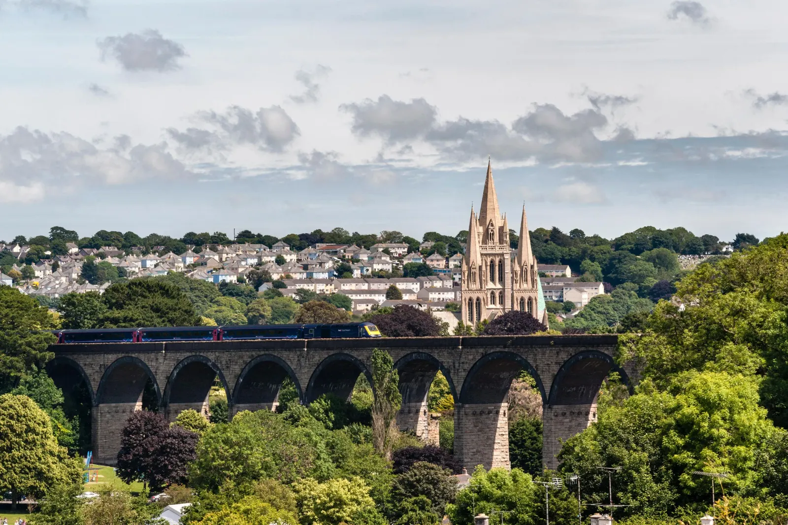
Leaving Fowey, the road climbs steeply away from the water through St Blazey and joins the A390 at the edge of St Austell, where the pale spoil tips of two centuries of clay working rise on either side, one of them now roofed with the biomes of the Eden Project.4 Beyond St Austell the A390 runs west through Grampound and Probus, old coaching villages on the Truro road, before the three spires of the cathedral come into view across the valley.

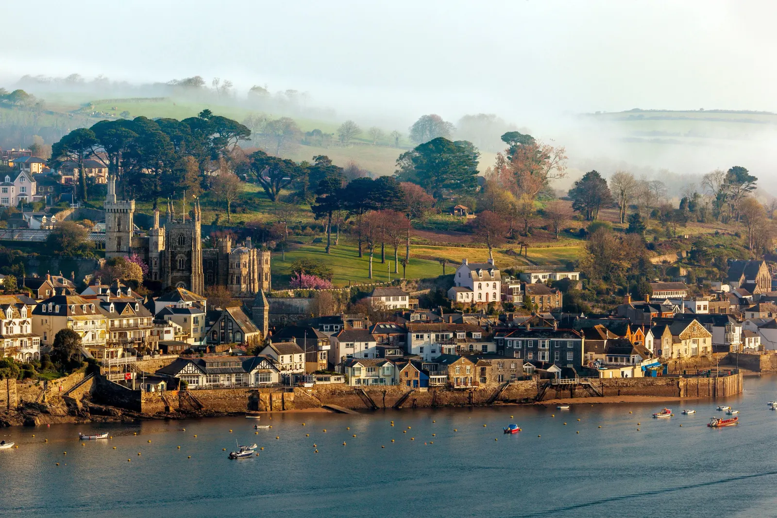
Fowey and Truro could hardly be more different. Fowey is a narrow, tidal harbour town that has kept its working quay and its literary associations with Daphne du Maurier; Truro is a Georgian and Victorian city built on tin wealth, with the only cathedral in Cornwall and the Royal Cornwall Museum at its heart.8 The drive between them crosses the grain of the county, from the south coast up and over to the tidal creeks of the Fal.

What to do in Truro

Truro rewards an unhurried wander. The three-spired cathedral, finished in 1910 on the site of the old parish church, dominates the centre and holds concerts and services throughout the year.8 The Royal Cornwall Museum on River Street tells the story of the county from its minerals to its art,9 and the Georgian terraces of Lemon Street and Walsingham Place are among the finest in the West Country. The pannier market, the independent shops of the old city and the riverside walk down to Boscawen Park all repay the time, and the city makes a natural hub for the rest of Cornwall.

Read the Truro guide

Going the other way: Truro to Fowey

Truro to Fowey reverses the A390 and A3082 and takes about the same forty-five minutes. The descent into Fowey at the end is steep and narrow, so follow the signs to the car parks at the top of the town rather than driving to the quay.

Article Sources
  1. OpenStreetMap contributors (2026). Road network, road classifications and place names. Copyright and licence [online]. Available at: https://www.openstreetmap.org/copyright OpenStreetMap[↩]
  2. Historic England (no date). The National Heritage List for England [online]. Available at: https://historicengland.org.uk/listing/the-list Historic England[↩]
  3. English Heritage (no date). Restormel Castle [online]. Available at: https://www.english-heritage.org.uk/visit/places/restormel-castle English Heritage[↩]
  4. Eden Project (no date). Home page [online]. Available at: https://www.edenproject.com Eden Project[↩]
  5. First Kernow (no date). Bus services, routes and timetables in Cornwall [online]. Available at: https://www.firstbus.co.uk/cornwall First Kernow[↩]
  6. Great Western Railway (no date). Plan your journey: timetables and branch-line services in Cornwall [online]. Available at: https://www.gwr.com/plan-journey Great Western Railway[↩]
  7. National Rail Enquiries (no date). Train times and journey planner [online]. Available at: https://www.nationalrail.co.uk National Rail[↩]
  8. Truro Cathedral (no date). Home page [online]. Available at: https://www.trurocathedral.org.uk Truro Cathedral[↩]
  9. Royal Cornwall Museum (no date). Home page [online]. Available at: https://royalcornwallmuseum.org.uk Royal Cornwall Museum[↩]
  10. Project OSRM (no date). Open Source Routing Machine: route shape and detour calculations [online]. Available at: https://project-osrm.org Project OSRM
  11. Ordnance Survey (no date). National Grid references used to position each place on the route map [online]. Available at: https://www.ordnancesurvey.co.uk Ordnance Survey
  12. Google (no date). Google Maps: live traffic and turn-by-turn directions [online]. Available at: https://www.google.com/maps Google Maps