🍂 The best Cornwall hotels this autumn 🍂
Cornwall.co.uk
Arriving in Fowey

Travel distances

St Ives to Fowey

St Ives to Fowey on the map

Start and finishThe route by roadSee the stops along the way on their own map ↓

Open this route in Google Maps ↗ for live traffic and turn-by-turn directions.

Distance

52 miles

by road

By car

About 1 hour 20 minutes

in normal traffic

By bike

About 5 hours 15 minutes

steady pace

By foot

About 17 hours 20 minutes

estimated at a 3mph walking pace

Before you set off

Fowey's narrow streets are not built for cars, and in summer the town is effectively closed to through traffic beyond the main car parks. The Fowey Royal Regatta in August fills the town for a week,1 and the Eden Project traffic around St Austell can back up the A390 on wet summer days.2

Which way to go

The fastest route

Take the A30 east from Hayle all the way to Bodmin, then the B3268 south through the Fowey valley to Lostwithiel. Cross the A390 there and follow the B3269 down to Fowey; the last approach drops steeply through woodland into the town.3

The scenic route

For a southern run, leave the A30 at Innis Downs and take the A391 down to St Austell, then the A390 east past Charlestown and St Blazey before turning south on the B3269 for Fowey. It passes close to the Eden Project and adds around fifteen minutes.2

Caravans and motorhomes

The A30 and A391 are both suitable for caravans. The final descent into Fowey on the B3269 is steep, narrow and unsuitable for towing. Park at the Fowey Docks area or the Caffa Mill car park at the top of the hill and walk down into the town.
Stops along the way

Stops along the way — tap or hover a pin for a photo, the detour and a link to its guideStart and finishThe route by road

  1. Start

    St Ives

  2. St Austell

    5.8 miles off the B3269, adds roughly 5 minutes

    The natural halfway point and the gateway to the Eden Project, two miles north-east of the town in a former china clay pit.2 The Lost Gardens of Heligan are a short drive south.4

  3. Charlestown Beach

    4.3 miles off the B3269, adds roughly 7 minutes

    A Georgian port a mile off the A390, with tall ships in the dock and a small shingle beach either side of the harbour mouth.

  4. Lostwithiel

    0.9 miles off the B3269, adds roughly 4 minutes

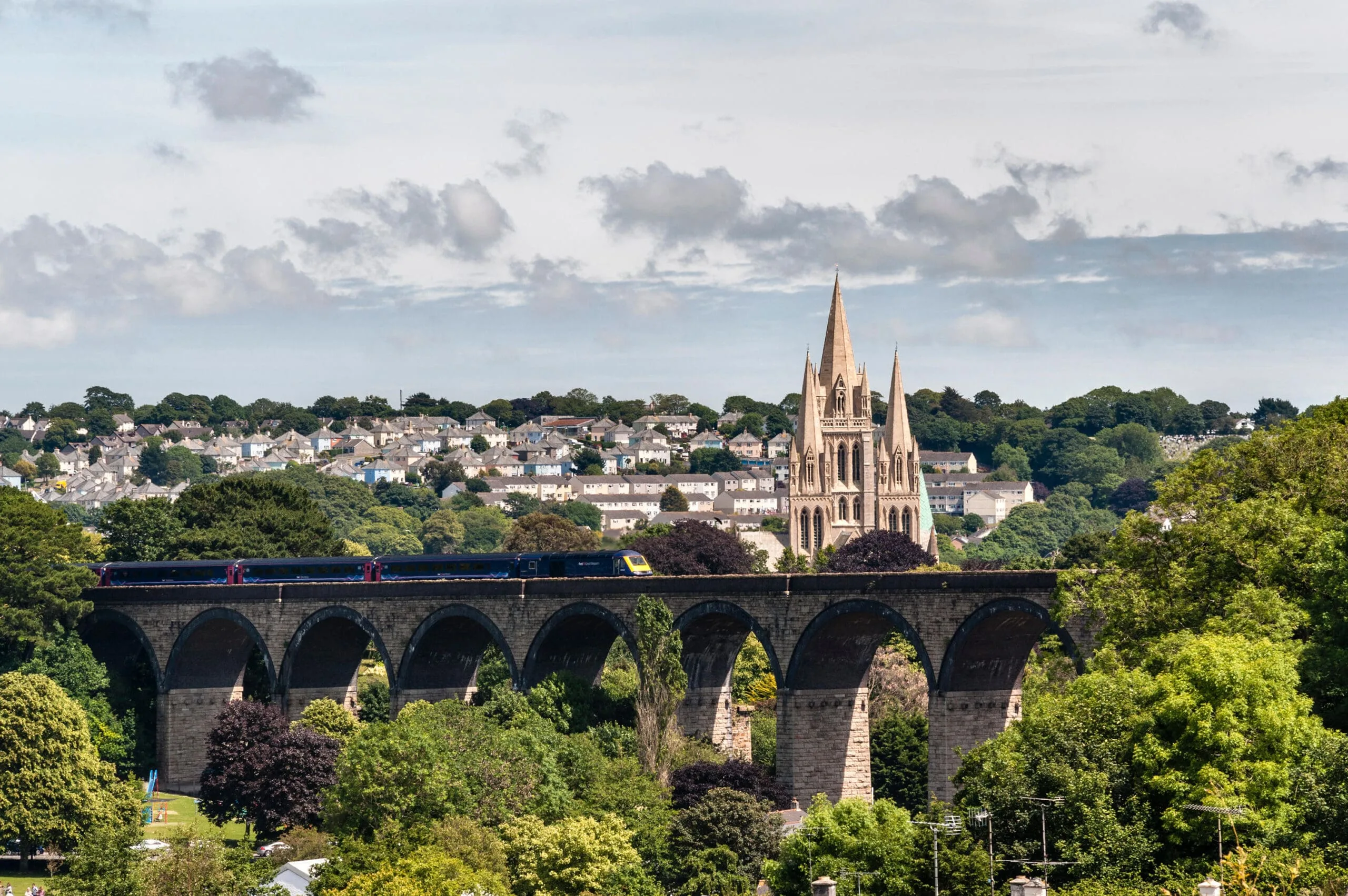
    The old stannary capital astride the tidal Fowey, with a medieval bridge and the ruins of Restormel Castle a mile upstream.5

  5. Arrive

    Fowey

Practical information

Parking

Fowey has very limited parking for such a popular destination. The main options are Caffa Mill at the top of the town and the small pay-and-display lots near the quay. Both fill by mid-morning in summer. Plan to arrive early or use the Park and Float service from Golant.

Train and bus

There is no direct service. Take the St Ives Bay Line to St Erth and the main line to Par,6 then a First Kernow bus to Fowey,7 about two and a half hours in all.

The best time to travel

Late spring and early autumn. Arrive before 10am in summer, when the town car parks fill.

About the St Ives to Fowey journey

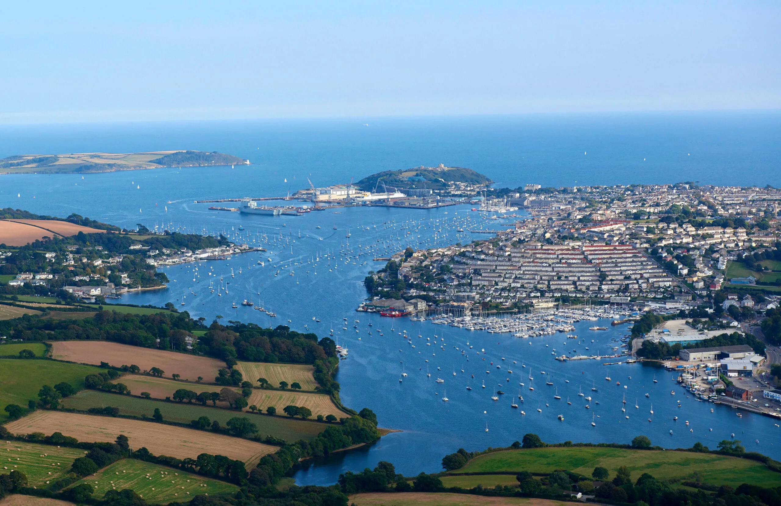
The 52-mile journey from St Ives to Fowey is the longest of the St Ives routes, crossing almost the entire width of Cornwall from the far south-west to the wooded estuary country of the east. Fowey stands at the mouth of the River Fowey, which rises on Bodmin Moor and runs south through some of the most deeply wooded valleys in the county. Daphne du Maurier lived nearby at Menabilly and set several of her novels in and around the estuary.

What to do in Fowey

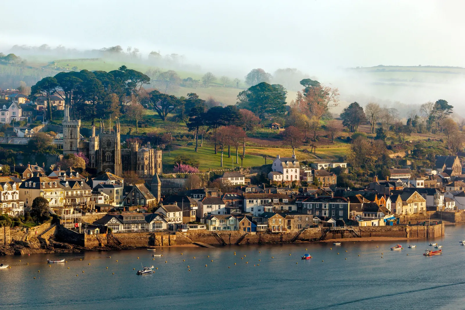
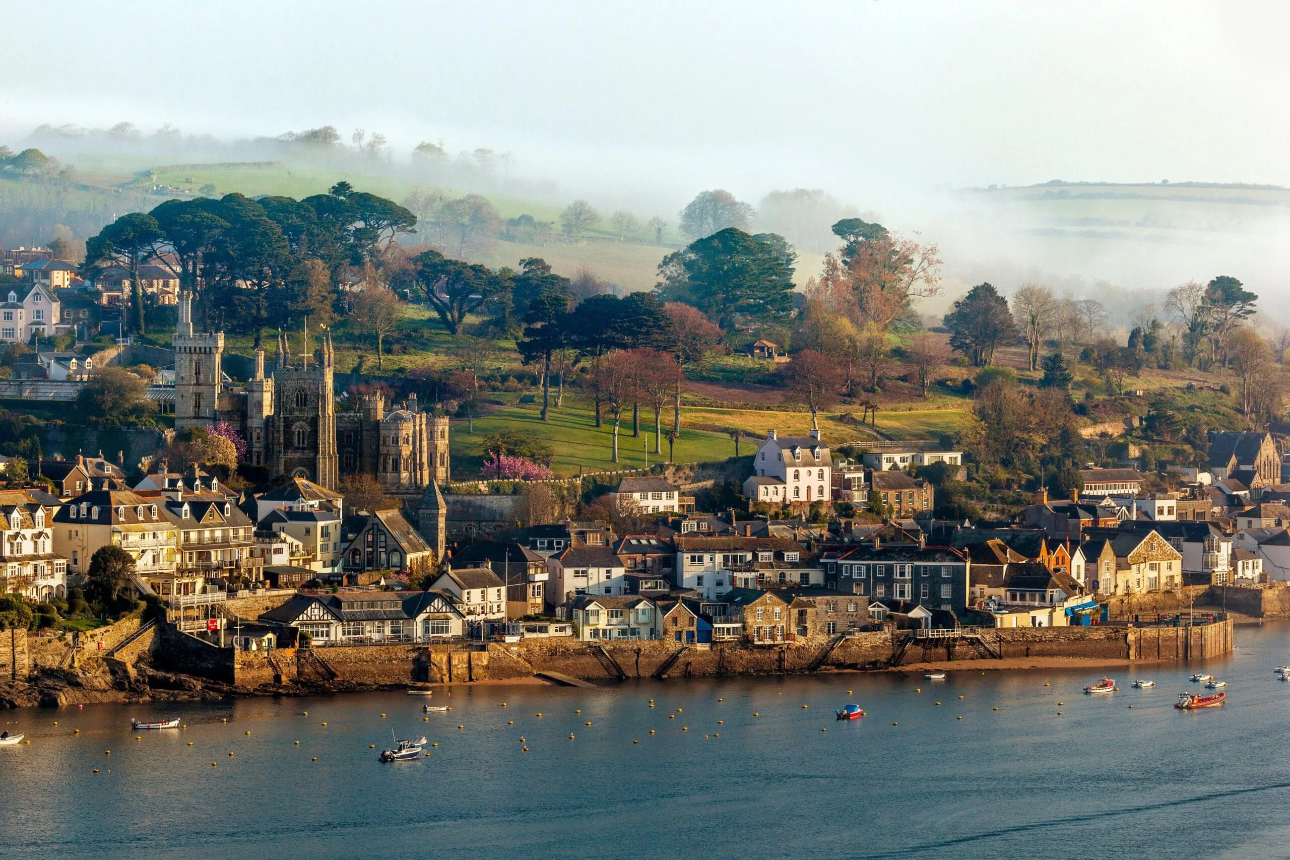
Fowey's main street runs along the waterfront, lined with galleries, independent shops and cafes, and the harbour is still a working one.8 The church of St Fimbarrus stands above the quay, the Fowey Museum tells the town's maritime and literary story, and the short ferry crossings to Polruan and Bodinnick open up the walks on the far side of the river.

Read the Fowey guide

Going the other way: Fowey to St Ives

The return from Fowey to St Ives reverses the same route via the A390 and A30. The steep climb out of Fowey is easier northbound, and the view back down the estuary from the top of the hill is worth pausing for.

Article Sources
  1. Royal Fowey Yacht Club (no date). Fowey Royal Regatta [online]. Available at: https://foweyroyalregatta.co.uk Fowey Royal Regatta[↩]
  2. Eden Project (no date). Home page [online]. Available at: https://www.edenproject.com Eden Project[↩]
  3. OpenStreetMap contributors (2026). Road network, road classifications and place names. Copyright and licence [online]. Available at: https://www.openstreetmap.org/copyright OpenStreetMap[↩]
  4. The Lost Gardens of Heligan (no date). Home page [online]. Available at: https://www.heligan.com The Lost Gardens of Heligan[↩]
  5. English Heritage (no date). Restormel Castle [online]. Available at: https://www.english-heritage.org.uk/visit/places/restormel-castle English Heritage[↩]
  6. Great Western Railway (no date). Plan your journey: timetables and branch-line services in Cornwall [online]. Available at: https://www.gwr.com/plan-journey Great Western Railway[↩]
  7. First Kernow (no date). Bus services, routes and timetables in Cornwall [online]. Available at: https://www.firstbus.co.uk/cornwall First Kernow[↩]
  8. Fowey Harbour Commissioners (no date). Fowey harbour, the Bodinnick car ferry and the Polruan passenger ferry [online]. Available at: https://www.foweyharbour.co.uk Fowey Harbour Commissioners[↩]
  9. Project OSRM (no date). Open Source Routing Machine: route shape and detour calculations [online]. Available at: https://project-osrm.org Project OSRM
  10. Ordnance Survey (no date). National Grid references used to position each place on the route map [online]. Available at: https://www.ordnancesurvey.co.uk Ordnance Survey
  11. Google (no date). Google Maps: live traffic and turn-by-turn directions [online]. Available at: https://www.google.com/maps Google Maps