🍂 The best Cornwall hotels this autumn 🍂
Cornwall.co.uk
Arriving in Newquay

Travel distances

Fowey to Newquay

Fowey to Newquay on the map

Start and finishThe route by roadSee the stops along the way on their own map ↓

Open this route in Google Maps ↗ for live traffic and turn-by-turn directions.

Distance

37 miles

by road

By car

About 1 hour

in normal traffic

By bike

About 3 hours 45 minutes

steady pace

By foot

About 12 hours 20 minutes

estimated at a 3mph walking pace

Before you set off

Newquay's beach car parks fill from mid-morning in the school holidays, and the A30 can be slow on summer changeover Saturdays. Fowey's streets are too narrow and steep for visitor parking, so the car parks sit at the top of the town and fill early too, and you should plan your parking at both ends in high summer.

Which way to go

The fastest route

Leave Fowey on the A3082 to St Blazey, join the A390 west towards St Austell, then take the A391 north to the Innis Downs junction and the A30.1 Follow the A30 west to the A392 Quintrell Downs turn and drop down into Newquay. About an hour in normal traffic, most of it on fast main road across the central plateau.

The scenic route

For a slower, prettier version, leave Fowey up the wooded valley to Lostwithiel and join the A30 near Bodmin, or take the coastal detour through Charlestown and the old clay harbours before cutting inland.2 Either adds a little time and takes in a working Georgian harbour or a tidal river town on the way.

Caravans and motorhomes

The A3082, A390, A391 and A30 are the main roads through mid-Cornwall and carry caravans and motorhomes without trouble.1 The steep descent into Fowey is the one stretch to avoid with a large vehicle, so use the Caffa Mill or top-of-town car parks, and in Newquay head for the larger car parks at Tregunnel Hill or Manor Road.
Stops along the way

Stops along the way — tap or hover a pin for a photo, the detour and a link to its guideStart and finishThe route by road

  1. Start

    Fowey

  2. St Austell

    5.8 miles off the B3269, adds roughly 5 minutes

    The capital of the china-clay country, its pale spoil tips landscaped into hills, one now roofed with the biomes of the Eden Project.3

  3. Charlestown Beach

    4.3 miles off the B3269, adds roughly 8 minutes

    A preserved Georgian harbour just south of St Austell, built for the clay trade and still home to tall ships.

  4. Polkerris Beach

    1 mile off the B3269, adds roughly 5 minutes

    A small, sheltered, west-facing sandy cove with an old pilchard cellar and a beach cafe, tucked below the Gribbin headland near Fowey.

  5. Arrive

    Newquay

Practical information

Parking

Newquay's Tregunnel Hill and Manor Road car parks are the larger and easier choices and sit within a short walk of the town and the main beaches. The beach car parks at Fistral and Great Western fill from mid-morning in summer. In Fowey, use the Caffa Mill car park by the Bodinnick ferry or the top-of-town car parks before you set off.

Train and bus

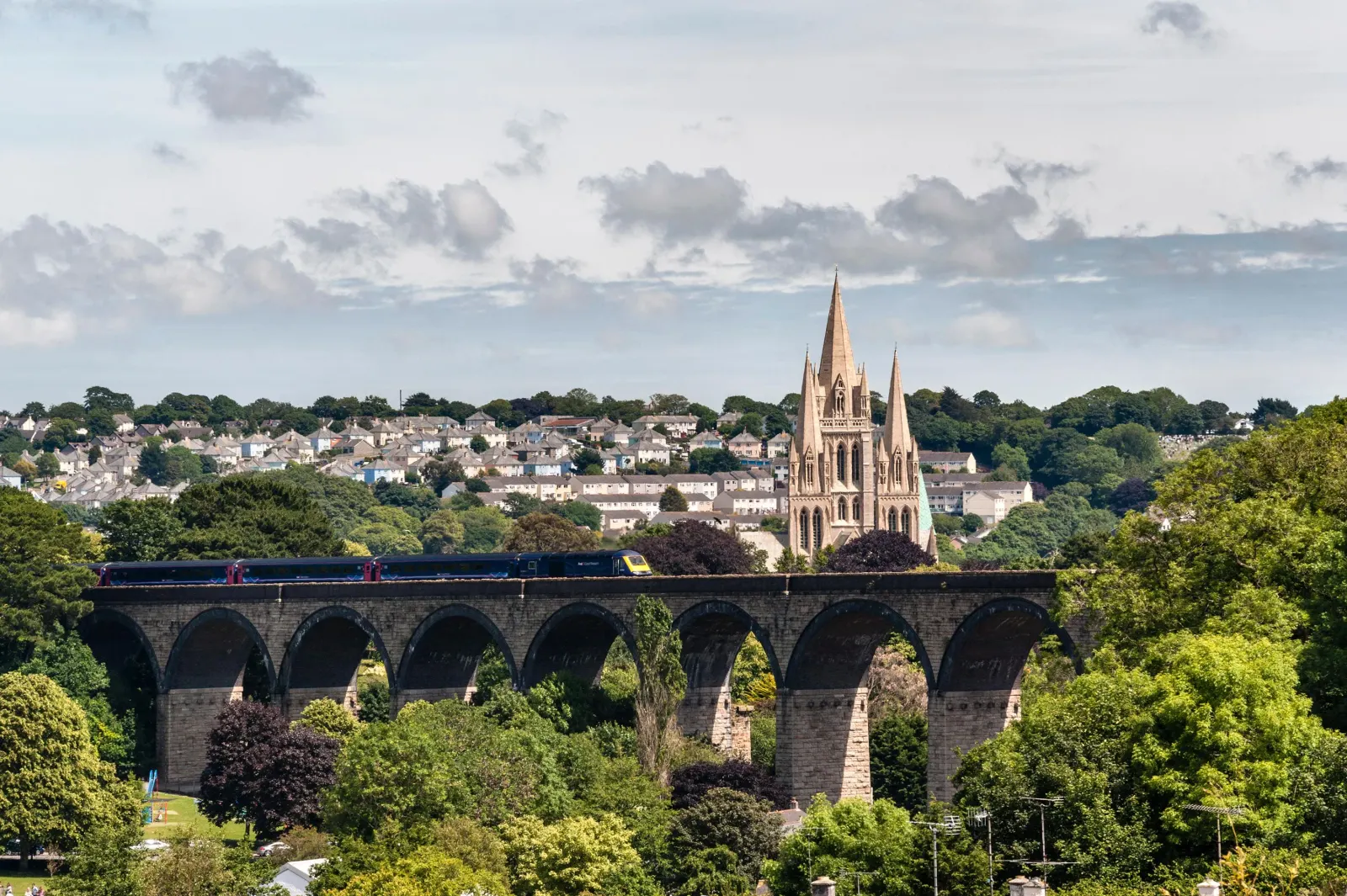
There is no direct line between the two. The practical route by rail is a short bus from Fowey to Par, then the Atlantic Coast Line branch from Par across the clay country to Newquay.4 Allow around an hour and a half with the connection.5 Both the main line and the Newquay branch meet at Par, so the change is an easy one.6

The best time to travel

May, June and September give the best balance of weather and quiet roads. In high summer travel early in the day to get ahead of the A30 traffic and to find a space in Newquay's beach car parks, and leave Fowey early for the same reason.

About the Fowey to Newquay journey

The thirty-seven miles from Fowey to Newquay carry you from a sheltered, wooded estuary on the south coast to the Atlantic surf of the north, two very different kinds of Cornish water. The drive crosses the middle of the county, up out of the Fowey valley and across the high clay country to the long beaches of the north coast.

Leaving Fowey, the road climbs steeply through St Blazey and joins the A390 at St Austell, where the spoil tips of two centuries of clay working have been landscaped into pale hills, one of them now roofed with the biomes of the Eden Project.3 The A391 then runs north to the A30 across the high central plateau, before the road drops down the A392 into Newquay and the first sight of the surf at Fistral.

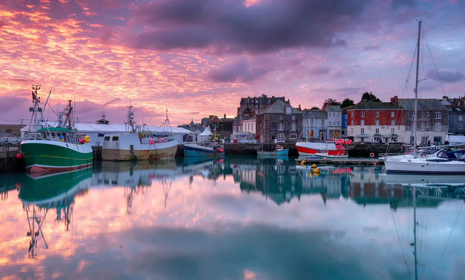
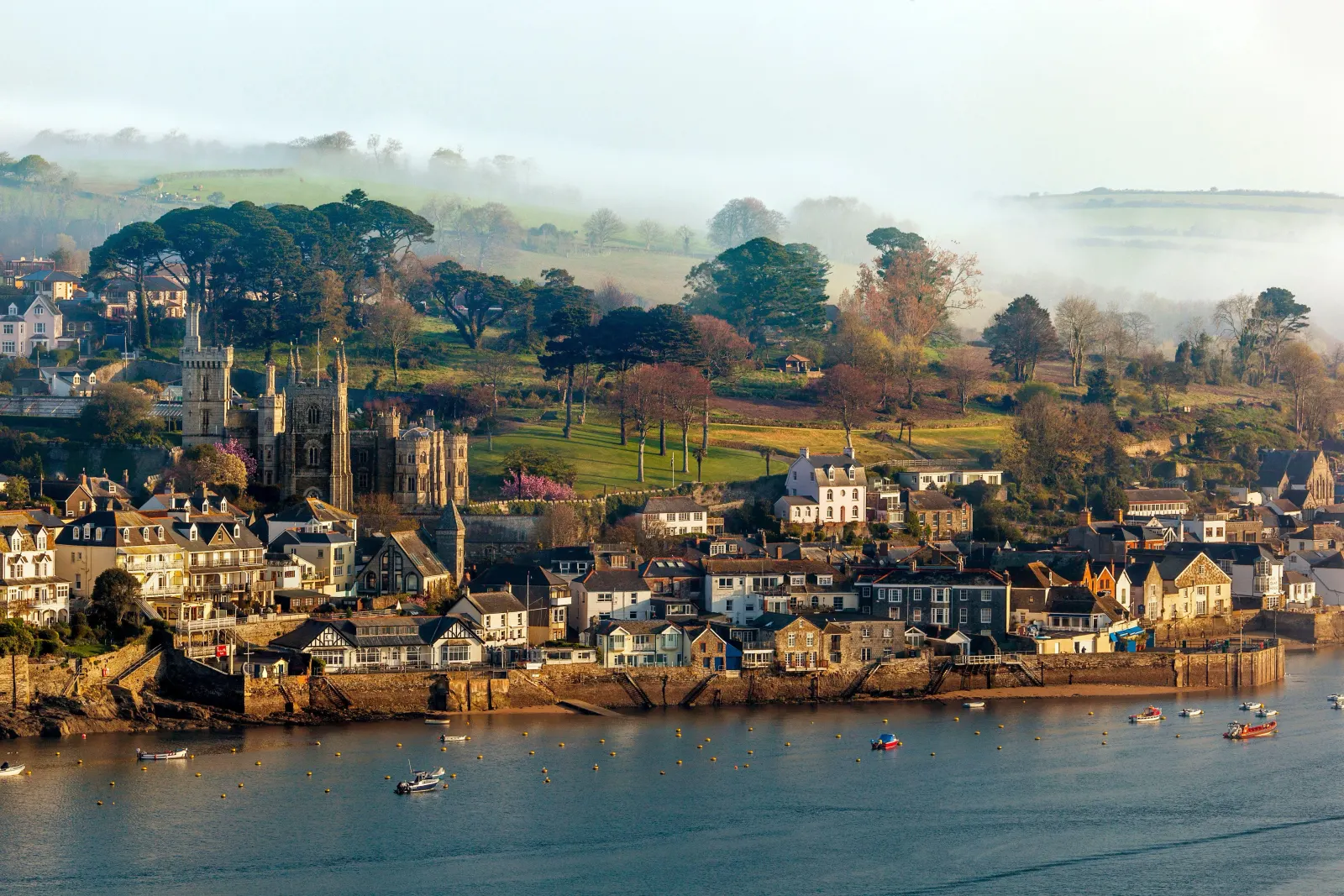
Fowey and Newquay sit on opposite coasts and could hardly feel more different. Fowey is a narrow, tidal harbour town that kept its working quay and its literary associations with Daphne du Maurier; Newquay grew from a pilchard-fishing port into Cornwall's largest resort and the centre of British surfing, lively and young in a way nowhere else in the county quite matches. The drive between them is the quickest way to trade one coast for the other.

What to do in Newquay

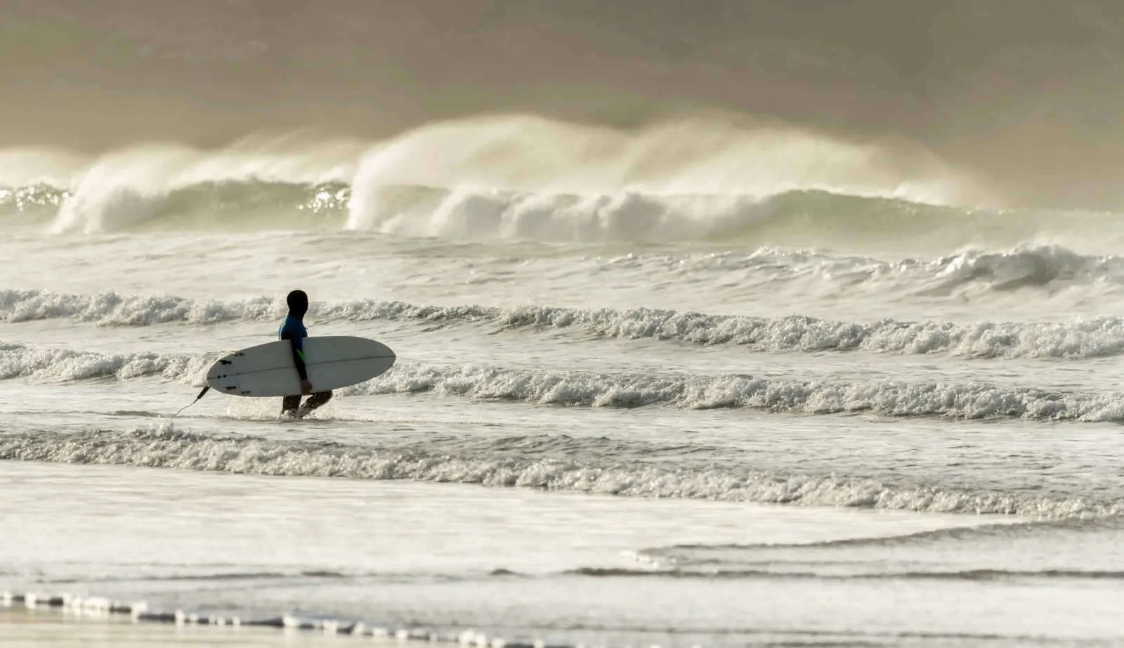
Newquay is all about the beaches and the surf. Fistral, facing the full fetch of the Atlantic, is the best-known surf beach in Britain, and the town beaches of Towan, Great Western and Tolcarne sit below the cliffs around the old harbour. Away from the sand, Newquay Zoo in Trenance Gardens7 and the Blue Reef Aquarium on the seafront8 make good family afternoons, and the South West Coast Path out to Towan Head gives an easy walk with wide views along the coast. The harbour still lands a catch and keeps a handful of good places to eat.

Read the Newquay guide

Going the other way: Newquay to Fowey

Newquay to Fowey reverses the A30, A391 and A390 and takes about the same hour. The run south is straightforward, but the descent into Fowey at the end is steep and narrow, so follow the signs to the top-of-town car parks.

Article Sources
  1. OpenStreetMap contributors (2026). Road network, road classifications and place names. Copyright and licence [online]. Available at: https://www.openstreetmap.org/copyright OpenStreetMap[↩]
  2. Historic England (no date). The National Heritage List for England [online]. Available at: https://historicengland.org.uk/listing/the-list Historic England[↩]
  3. Eden Project (no date). Home page [online]. Available at: https://www.edenproject.com Eden Project[↩]
  4. Great Western Railway (no date). Plan your journey: timetables and branch-line services in Cornwall [online]. Available at: https://www.gwr.com/plan-journey Great Western Railway[↩]
  5. First Kernow (no date). Bus services, routes and timetables in Cornwall [online]. Available at: https://www.firstbus.co.uk/cornwall First Kernow[↩]
  6. National Rail Enquiries (no date). Train times and journey planner [online]. Available at: https://www.nationalrail.co.uk National Rail[↩]
  7. Newquay Zoo (no date). Home page [online]. Available at: https://www.newquayzoo.org.uk Newquay Zoo[↩]
  8. Blue Reef Aquarium (no date). Blue Reef Aquarium Newquay [online]. Available at: https://www.bluereefaquarium.co.uk/newquay Blue Reef Aquarium[↩]
  9. Project OSRM (no date). Open Source Routing Machine: route shape and detour calculations [online]. Available at: https://project-osrm.org Project OSRM
  10. Ordnance Survey (no date). National Grid references used to position each place on the route map [online]. Available at: https://www.ordnancesurvey.co.uk Ordnance Survey
  11. Google (no date). Google Maps: live traffic and turn-by-turn directions [online]. Available at: https://www.google.com/maps Google Maps