🍂 The best Cornwall hotels this autumn 🍂
Cornwall.co.uk
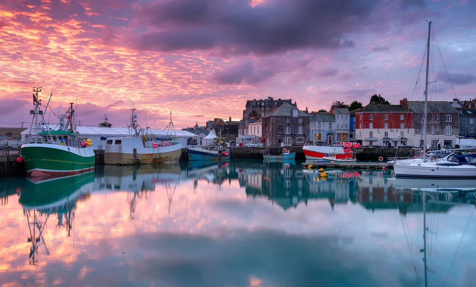
Arriving in Padstow

Travel distances

Falmouth to Padstow

Falmouth to Padstow on the map

Start and finishThe route by roadSee the stops along the way on their own map ↓

Open this route in Google Maps ↗ for live traffic and turn-by-turn directions.

Distance

47 miles

by road

By car

About 1 hour 10 minutes

in normal traffic

By bike

About 4 hours 30 minutes

steady pace

By foot

About 15 hours 40 minutes

estimated at a 3mph walking pace

Before you set off

Padstow has very little parking for how popular it is, and in summer the car parks above the harbour fill by mid-morning. The A39 through St Columb and the final estuary road into Padstow both slow on August weekends, so an early start or a midweek visit makes the whole journey easier.

Which way to go

The fastest route

Follow the A39 north out of Falmouth to Truro, join the A30 towards Bodmin and leave it at the Indian Queens junction for the A39 north through St Columb Major.1 At Wadebridge pick up the A389, which runs along the west bank of the Camel estuary into Padstow, one of the prettiest approach roads in Cornwall. Around an hour and ten minutes in normal traffic.

The scenic route

For a slower coastal alternative, leave the A30 earlier for the B3275 to Newquay and follow the coast road north through Mawgan Porth and the cliffs of Bedruthan before cutting inland to Wadebridge.2 It adds a good half hour but takes in some of the finest stretches of the north coast, and the Bedruthan Steps viewpoint alone is worth the detour.

Caravans and motorhomes

The A30 and A39 are both built for heavy traffic and present no problem for a caravan or motorhome.1 Padstow's narrow streets are another matter, so use the large Padstow Harbour car park above the town or the Rock Road car park on the edge rather than trying to tow into the centre.
Stops along the way

Stops along the way — tap or hover a pin for a photo, the detour and a link to its guideStart and finishThe route by road

  1. Start

    Falmouth

  2. Truro

    0.2 miles off the A39, adds roughly 2 minutes

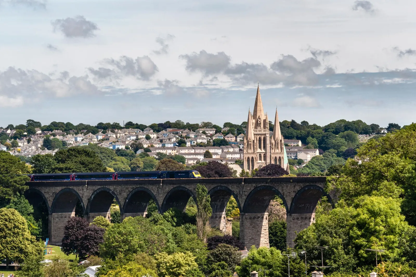
    The cathedral city and county capital, worth a stop in its own right for the Royal Cornwall Museum and the three-spired cathedral before you head north.3

  3. St Columb Major

    A handsome former market town on the A39, famous for its twice-yearly Shrove Tuesday hurling match, one of the last survivals of medieval street football in Cornwall.

  4. Wadebridge

    4.7 miles off the main route, adds roughly 15 minutes

    The town at the lowest bridging point of the River Camel and the hub of the Camel Trail, the eighteen-mile walking and cycling path that runs down to Padstow and up to Bodmin.4

  5. Arrive

    Padstow

Practical information

Parking

Padstow's main car park sits above the harbour and is the obvious choice, though it fills early in season. The Rock Road and Link Road car parks on the edge of town are larger and quieter, with a short walk down into the centre. Parking at Wadebridge and cycling the last five miles along the Camel Trail is a popular alternative on a fine day.4

Train and bus

There is no direct train to Padstow, which lost its line in 1967. The practical route by public transport is a bus or train from Falmouth to Truro, the main line to Bodmin Parkway, then a First Kernow bus through Wadebridge to Padstow.5 Allow around two and a half hours with connections. In summer the Rock foot ferry across the Camel is a quicker way in if you are coming from that side.6

The best time to travel

Late spring and early autumn are the sweet spot, when the harbour is still working and the restaurants are easier to book. Midweek in July and August is far calmer than the weekends, when parking and the most popular eateries are under real pressure.

About the Falmouth to Padstow journey

The forty-seven miles from Falmouth to Padstow run from the south coast to the north, from the sheltered Fal to the broad tidal estuary of the River Camel, and take in a good cross-section of central Cornwall on the way. It is the longest of the Falmouth journeys and the one that changes landscape most as it goes.

Leaving the wooded creeks of the south, the road crosses the high central plateau around Indian Queens and St Columb, open farmland with the white tips of the old china-clay country off to the east. Then it drops towards the north coast and the Camel, where the character softens again into the oak woods and sandflats of the estuary. Padstow sits on the west bank near the river's mouth, sheltered from the Atlantic by the Doom Bar sandbank that has wrecked so many ships over the centuries.

Padstow was a working fishing and trading port for most of its history, and still lands a daily catch, but it is best known now as a food destination, a reputation built on Rick Stein's restaurants from the 1970s onward and since broadened well beyond them. The Camel Trail, following the course of the lost railway, has made it one of the most popular ends of a family cycle ride in the county.

What to do in Padstow

Padstow's harbour is the centre of everything, ringed by seafood restaurants, fishmongers and the queue for the famous fish and chips, with boats leaving for fishing trips and the Rock ferry throughout the day.6 The Camel Trail starts here and is worth riding even for a short stretch along the estuary.4 Above the town, the Elizabethan manor of Prideaux Place opens to visitors in summer and looks out over a deer park to the sea.7 For a walk, the coast path out to Stepper Point and the Daymark tower gives the full sweep of the estuary mouth and the Doom Bar below.

Read the Padstow guide

Going the other way: Padstow to Falmouth

Padstow to Falmouth reverses the A39 and A30 and runs about the same time. The climb out of the Camel valley is straightforward, and once on the A30 the road moves well. If you have time, Truro makes a natural halfway stop to break the journey on the way back south.

Article Sources
  1. OpenStreetMap contributors (2026). Road network, road classifications and place names. Copyright and licence [online]. Available at: https://www.openstreetmap.org/copyright OpenStreetMap[↩]
  2. National Trust (no date). Home page [online]. Available at: https://www.nationaltrust.org.uk National Trust[↩]
  3. Truro Cathedral (no date). Home page [online]. Available at: https://www.trurocathedral.org.uk Truro Cathedral[↩]
  4. Sustrans (no date). Camel Trail (Padstow to Bodmin) [online]. Available at: https://www.sustrans.org.uk/find-a-route-on-the-national-cycle-network/camel-trail Sustrans[↩]
  5. First Kernow (no date). Bus services, routes and timetables in Cornwall [online]. Available at: https://www.firstbus.co.uk/cornwall First Kernow[↩]
  6. Padstow Harbour Commissioners (no date). Padstow harbour and the Rock foot ferry [online]. Available at: https://padstow-harbour.co.uk Padstow Harbour Commissioners[↩]
  7. Prideaux Place (no date). Home page [online]. Available at: https://www.prideauxplace.co.uk Prideaux Place[↩]
  8. Project OSRM (no date). Open Source Routing Machine: route shape and detour calculations [online]. Available at: https://project-osrm.org Project OSRM
  9. Ordnance Survey (no date). National Grid references used to position each place on the route map [online]. Available at: https://www.ordnancesurvey.co.uk Ordnance Survey
  10. Google (no date). Google Maps: live traffic and turn-by-turn directions [online]. Available at: https://www.google.com/maps Google Maps