🍂 The best Cornwall hotels this autumn 🍂
Cornwall.co.uk
Arriving in St Ives

Travel distances

Penzance to St Ives

Penzance to St Ives on the map

Start and finishThe route by roadSee the stops along the way on their own map ↓

Open this route in Google Maps ↗ for live traffic and turn-by-turn directions.

Distance

10 miles

by road

By car

About 20 minutes

in normal traffic

By bike

About 1 hour

steady pace

By foot

About 3 hours 20 minutes

estimated at a 3mph walking pace

Before you set off

This is a short hop, but St Ives is one of the hardest towns in Cornwall to park in, and the descent into the town is best avoided in the middle of a summer day. Penzance itself parks easily, so the catch is all at the St Ives end, where an early start or the Park & Ride makes all the difference.

Which way to go

The fastest route

Leave Penzance on the A30 east to the Loggans Moor roundabout at Hayle, then take the A3074 north through Lelant and Carbis Bay into St Ives.1 About twenty minutes in normal traffic, the last few along the edge of St Ives Bay with the water on your right.

The scenic route

For a slower, prettier finish, leave the car at the Lelant Saltings Park & Ride and take the St Ives Bay branch line for the final few miles, which runs right along the shore with views across to Godrevy Lighthouse and avoids the town's worst bottleneck altogether.2 By road, the lanes along the edge of the Towans behind the three-mile beach give a quieter run into Lelant.3

Caravans and motorhomes

The A30 and A3074 are fine for caravans and motorhomes, but the final descent into St Ives is steep and the town's streets are not built for large vehicles.1 Use the Trenwith car park at the top of the town, or far better the Lelant Saltings Park & Ride, and come in on the branch line.
Stops along the way

Stops along the way — tap or hover a pin for a photo, the detour and a link to its guideStart and finishThe route by road

  1. Start

    Penzance

  2. Marazion

    2.5 miles off the main route, adds roughly 14 minutes

    Just east of Penzance at the start of the run, the access point for St Michael's Mount across its tidal causeway.4

  3. Hayle

    3.2 miles off the A3074, adds roughly 14 minutes

    An estuary town at the mouth of the Hayle River, where the A3074 turns off for the bay, with the three-mile beach at the Towans stretching north toward Godrevy.

  4. Carbis Bay Beach

    1 mile off the A3074, adds roughly 11 minutes

    A sheltered, south-facing white-sand beach on the final approach, one of the safest for bathing in West Cornwall and a short walk or branch-line hop from St Ives.

  5. Arrive

    St Ives

Practical information

Parking

St Ives is one of the hardest towns in Cornwall to park in. The Trenwith car park above the town is the largest and feeds a park-and-ride bus down to the harbour, and the Lelant Saltings Park & Ride lets you leave the car and take the scenic branch line in. In Penzance, use the Harbour or Wharfside car parks or the long-stay by the station before you set off.

Train and bus

The quickest way by rail is the main line from Penzance to St Erth, about ten minutes, then the St Ives Bay branch line for the final four miles along the shore.5 The branch is one of the finest short railway rides in Britain, with the bay and Godrevy Lighthouse in view the whole way.2 First Kernow buses also run between the two towns through the day.6

The best time to travel

May, June and September give the best balance of weather and quiet roads. In high summer travel early or late in the day and strongly consider the Park & Ride at Lelant rather than driving into the town itself, which is the single best thing you can do for a St Ives day.

About the Penzance to St Ives journey

The ten miles from Penzance to St Ives cross the narrow neck of the far west, from Mount's Bay on the south coast to St Ives Bay on the north, in little more than twenty minutes. It is one of the shortest journeys between two well-known Cornish towns, and it links the working capital of the west with the painters' light of St Ives.

Leaving Penzance, the A30 runs east past Marazion and the turning for St Michael's Mount,4 then at Hayle the A3074 turns north for the bay, following the edge of the Towans dune system behind the three-mile beach before dropping into Lelant and Carbis Bay.3 The branch railway shadows the same shore, and the first sight of the harbour and the headland from the hill above Carbis Bay is one of the great Cornish views.

Penzance and St Ives are both old fishing towns of the far west, but they face very different waters and have made very different names. Penzance looks out across the wide sweep of Mount's Bay and remains the practical capital of the district, with the railway and the Scilly boats; St Ives gathered a colony of artists from the late nineteenth century onward, drawn by the quality of the light, and the tradition runs unbroken to Tate St Ives on the hill above Porthmeor today.7

What to do in St Ives

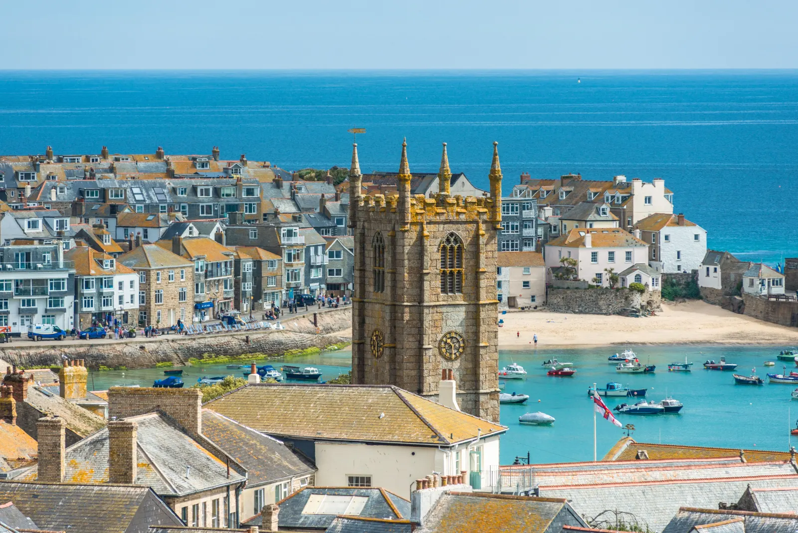
St Ives packs a great deal into a small space. Tate St Ives sits above Porthmeor Beach and shows modern and contemporary art in a building that frames the sea,7 and the Barbara Hepworth Museum and Sculpture Garden nearby keeps the sculptor's studio and garden much as she left them.8 The harbour is the heart of the town, with its fishing boats, its narrow granite lanes of galleries and pasty shops, and four beaches within walking distance: Porthmeor for surf, Porthminster for sand and a famous beach cafe, Porthgwidden for shelter, and the harbour beach itself. The South West Coast Path out to Clodgy Point gives an easy walk and a wide view back over the town.

Read the St Ives guide

Going the other way: St Ives to Penzance

St Ives to Penzance reverses the A3074 and A30 and takes about the same twenty minutes. If you came in by the branch line and Park & Ride, pick the car up at Lelant Saltings for the short drive back around the bay.

Article Sources
  1. OpenStreetMap contributors (2026). Road network, road classifications and place names. Copyright and licence [online]. Available at: https://www.openstreetmap.org/copyright OpenStreetMap[↩]
  2. National Rail Enquiries (no date). Train times and journey planner [online]. Available at: https://www.nationalrail.co.uk National Rail[↩]
  3. National Trust (no date). Home page [online]. Available at: https://www.nationaltrust.org.uk National Trust[↩]
  4. St Michael’s Mount (no date). Home page [online]. Available at: https://www.stmichaelsmount.co.uk St Michael’s Mount[↩]
  5. Great Western Railway (no date). Plan your journey: timetables and branch-line services in Cornwall [online]. Available at: https://www.gwr.com/plan-journey Great Western Railway[↩]
  6. First Kernow (no date). Bus services, routes and timetables in Cornwall [online]. Available at: https://www.firstbus.co.uk/cornwall First Kernow[↩]
  7. Tate (no date). Tate St Ives [online]. Available at: https://www.tate.org.uk/visit/tate-st-ives Tate[↩]
  8. Tate (no date). Barbara Hepworth Museum and Sculpture Garden [online]. Available at: https://www.tate.org.uk/visit/tate-st-ives/barbara-hepworth-museum-and-sculpture-garden Tate[↩]
  9. Project OSRM (no date). Open Source Routing Machine: route shape and detour calculations [online]. Available at: https://project-osrm.org Project OSRM
  10. Ordnance Survey (no date). National Grid references used to position each place on the route map [online]. Available at: https://www.ordnancesurvey.co.uk Ordnance Survey
  11. Google (no date). Google Maps: live traffic and turn-by-turn directions [online]. Available at: https://www.google.com/maps Google Maps